Porepunkah
Airport details
| Country | Australia |
| State | Victoria |
| Region | YM |
| Airspace | Melbourne Ctr |
| Municipality | Alpine Shire |
| Elevation | 956ft (291m) |
| Timezone | GMT +11 |
| Coordinates | -36.71778, 146.89000 |
| Magnetic var | |
| Type | land |
| Available since | X-Plane v10.40 |
| ICAO code | YPOK |
| IATA code | n/a |
| FAA code | n/a |
Communication
| Porepunkah CTAF | 126.000 |
Nearby Points of Interest:
Bright railway station
-Beechworth Asylum
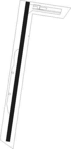
Runway info
| Runway 18 / 36 | ||
| length | 878m (2881ft) | |
| bearing | 196° / 16° | |
| width | 25m (82ft) | |
| surface | grass | |
| displ threshold | 64m (210ft) / 0m (0ft) | |
Nearby beacons
| code | identifier | dist | bearing | frequency |
|---|---|---|---|---|
| AY | ALBURY VOR/DME | 39.1 | 7° | 115.60 |
| COR | COROWA NDB | 50.8 | 324° | 380 |
Disclaimer
The information on this website is not for real aviation. Use this data with the X-Plane flight simulator only! Data taken with kind consent from X-Plane 12 source code and data files. Content is subject to change without notice.