Quorn
Airport details
| Country | Australia |
| State | South Australia |
| Region | YM |
| Airspace | Melbourne Ctr |
| Municipality | Quorn |
| Elevation | 879ft (268m) |
| Timezone | GMT +10.5 |
| Coordinates | -32.32082, 138.10439 |
| Magnetic var | |
| Type | land |
| Available since | X-Plane v10.40 |
| ICAO code | YQRN |
| IATA code | n/a |
| FAA code | n/a |
Communication
| Quorn CTAF | 126.700 |
Nearby Points of Interest:
Quorn railway station
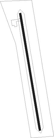
Runway info
| Runway 18 / 36 | ||
| length | 1114m (3655ft) | |
| bearing | 174° / 354° | |
| width | 18m (59ft) | |
| surface | gravel | |
Nearby beacons
| code | identifier | dist | bearing | frequency |
|---|---|---|---|---|
| WHA | WHYALLA NDB | 53.1 | 218° | 371 |
Disclaimer
The information on this website is not for real aviation. Use this data with the X-Plane flight simulator only! Data taken with kind consent from X-Plane 12 source code and data files. Content is subject to change without notice.