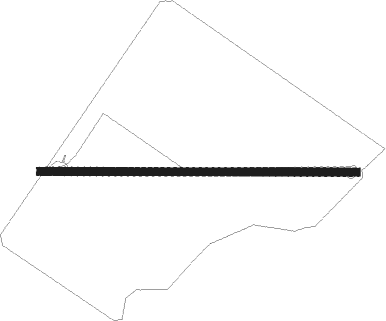
Glenore Grove - Ripcord
Airport details
| Country | Australia |
| State | Queensland |
| Region | |
| Airspace | Brisbane Ctr |
| Municipality | Lockyer Valley Regional |
| Elevation | 263ft (80m) |
| Timezone | GMT +10 |
| Coordinates | -27.54757, 152.38913 |
| Magnetic var | |
| Type | land |
| Available since | X-Plane v10.40 |
| ICAO code | YRIO |
| IATA code | n/a |
| FAA code | n/a |
Communication
Nearby Points of Interest:
Forest Hill War Memorial
-Lockyer Hotel
-Queensland National Bank, Forest Hill
-Forest Hill Hotel
-G Wyman Building, Laidley
-Exchange Hotel, Laidley
-Weeping Mother Memorial
-Corduroy Road Remains
-Boer War Memorial, Gatton
-Grandchester Sawmills
-Tallegalla State School
-Lockyer Creek Railway Bridge
-Marburg Community Centre and First World War Memorial
-Marburg Hotel
-Glendalough, Rosewood
-Rosewood Courthouse
-Franklyn Vale Homestead
-Bank of New South Wales, Helidon
-Bellevue Homestead
-St Andrews Presbyterian Church, Esk
-St Agnes Anglican Church, Esk
-Sandstone Railway Culvert, Wulkuraka
-St Patrick's Church, Rosevale
Nearby beacons
| code | identifier | dist | bearing | frequency |
|---|---|---|---|---|
| AMB | AMBERLEY TACAN | 18.2 | 106° | 108.10 |
| OK | OAKEY NDB | 35.5 | 281° | 254 |
| OK | OAKEY VOR/DME | 35.8 | 283° | 112.90 |
| BML | BROMELTON NDB | 37 | 129° | 374 |
| BN | BRISBANE VOR/DME | 41.4 | 76° | 113.20 |
| SU | SUNSHINE COAST VOR/DME | 68.2 | 36° | 114.20 |
| SU | SUNSHINE COAST NDB | 68.5 | 36° | 380 |
Disclaimer
The information on this website is not for real aviation. Use this data with the X-Plane flight simulator only! Data taken with kind consent from X-Plane 12 source code and data files. Content is subject to change without notice.