Raymangirr
Airport details
| Country | Australia |
| State | Northern Territory |
| Region | YB |
| Airspace | Brisbane Ctr |
| Municipality | East Arnhem Region |
| Elevation | 85ft (26m) |
| Timezone | GMT +9.5 |
| Coordinates | -12.34107, 136.00243 |
| Magnetic var | |
| Type | land |
| Available since | X-Plane v10.40 |
| ICAO code | YRRR |
| IATA code | n/a |
| FAA code | n/a |
Communication
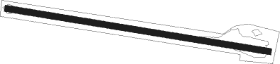
Runway info
| Runway 10 / 28 | ||
| length | 1274m (4180ft) | |
| bearing | 104° / 284° | |
| width | 30m (98ft) | |
| surface | dirt | |
Nearby beacons
| code | identifier | dist | bearing | frequency |
|---|---|---|---|---|
| GV | GOVE VOR/DME | 47.9 | 85° | 114.10 |
| GV | GOVE NDB | 48.4 | 85° | 380 |
Disclaimer
The information on this website is not for real aviation. Use this data with the X-Plane flight simulator only! Data taken with kind consent from X-Plane 12 source code and data files. Content is subject to change without notice.