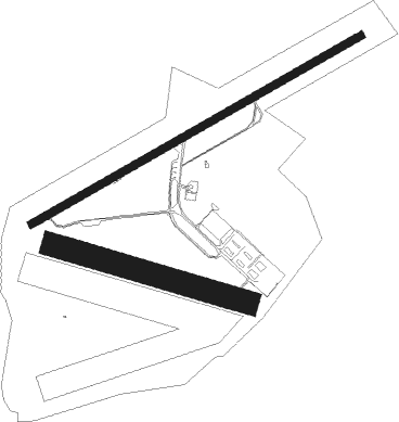
Camden
Airport details
| Country | Australia |
| State | New South Wales |
| Region | YM |
| Airspace | Melbourne Ctr |
| Municipality | Cobbitty |
| Elevation | 229ft (70m) |
| Timezone | GMT +10 |
| Coordinates | -34.04124, 150.68538 |
| Magnetic var | |
| Type | land |
| Available since | X-Plane v10.32 |
| ICAO code | YSCN |
| IATA code | CDU |
| FAA code | n/a |
Communication
| Camden YSCN ATIS | 125.100 |
| Camden CAMDEN MULT | 120.100 |
| Camden ACTIVATE LIGHTS ONLY MULT | 120.600 |
| Camden CAMDEN Ground Control | 121.900 |
| Camden CAMDEN Tower | 120.100 |
| Camden SYDNEY Approach | 124.550 |
Nearby Points of Interest:
Camelot, Kirkham
-Studley Park
-Camden Park Estate
-Menangle Railway Bridge
-Dredges Cottage
-Campbelltown Post Office
-Glenalvon House
-St John's Catholic Church, Campbelltown
-Beulah
-Stonequarry Creek railway viaduct, Picton
-Picton railway station
-Upper Canal System
-Bargo railway viaduct
-St Luke's Anglican Church, Liverpool
-The Homestead (Georges Hall)
-Lansdowne Bridge
-Glenbrook Tunnel
-Prospect Reservoir Valve House
-Prospect Hill
-Lennox Bridge, Glenbrook
-Emu Plains Underbridge
-Nepean Dam
-Imperial Hotel, Rooty Hill
-Bankstown Bunker
-Loftus Junction railway signal box

Nearby beacons
| code | identifier | dist | bearing | frequency |
|---|---|---|---|---|
| BK | BANKSTOWN (SYDNEY) NDB | 16.5 | 70° | 416 |
| SY | DME | 25.4 | 79° | 112.10 |
| RIC | RICHMOND TACAN | 26.6 | 15° | 110.70 |
| RIC | RICHMOND NDB | 27 | 12° | 347 |
| WOL | WOLLONGONG NDB | 31.4 | 168° | 239 |
| NWA | NOWRA TACAN | 55 | 190° | 116.40 |
| NWA | NOWRA NDB | 55.1 | 190° | 359 |
| GLB | GOULBURN NDB | 65.7 | 231° | 407 |
Instrument approach procedures
| runway | airway (heading) | route (dist, bearing) |
|---|---|---|
| RWNVW | SCNWA (45°) | SCNWA 5400ft SCNWI (5mi, 348°) 4060ft |
| RWNVW | SCNWB (65°) | SCNWB 5400ft SCNWI (5mi, 64°) 4060ft |
| RWNVW | SCNWC (83°) | SCNWC 5400ft SCNWI (5mi, 125°) 4060ft |
| RNAV | SCNWI 4060ft SCNWF (5mi, 64°) 2250ft SCNWM (5mi, 64°) 448ft SCNWH (9mi, 195°) 2700ft (8176mi, 283°) 5400ft |
Disclaimer
The information on this website is not for real aviation. Use this data with the X-Plane flight simulator only! Data taken with kind consent from X-Plane 12 source code and data files. Content is subject to change without notice.