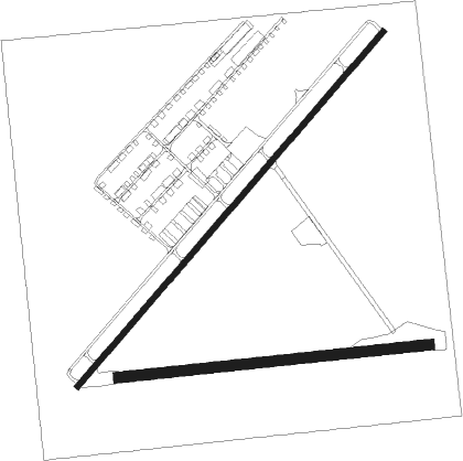
Hopeland - Serpentine
Airport details
| Country | Australia |
| State | Western Australia |
| Region | YM |
| Airspace | Melbourne Ctr |
| Municipality | Shire Of Serpentine-Jarrahdale |
| Elevation | 47ft (14m) |
| Timezone | GMT +8 |
| Coordinates | -32.39543, 115.87282 |
| Magnetic var | |
| Type | land |
| Available since | X-Plane v10.40 |
| ICAO code | YSEN |
| IATA code | n/a |
| FAA code | n/a |
Communication
| Serpentine CTAF | 119.100 |
Nearby Points of Interest:
Lake Richmond
-The Spectacles Wetlands, Western Australia
-Old Jarrah Tree
-Challenger Battery
-Coogee Hotel, Western Australia
-Canning Contour Channel (former)
-Newmarket Hotel
-Hampton Buildings
-Fremantle Synagogue
-Fremantle Technical School building
-Fremantle Markets
-Fremantle Trades Hall
-Oceanic Hotel
-Metropolis Fremantle
-Evan Davies Building
-Fowler's Warehouse
-McDonald Smith Building
-the federal boutique hotel
-RSL Club (Fremantle)
-Reckitt & Colman Building Facade
-Owston's Buildings
-7 High Street, Fremantle
-Union Stores Building
-Higham's Buildings
-Marich Buildings, Fremantle

Nearby beacons
| code | identifier | dist | bearing | frequency |
|---|---|---|---|---|
| JT | JANDAKOT NDB | 17.5 | 3° | 281 |
| PH | PERTH VOR/DME | 27.4 | 11° | 113.70 |
| PEA | PEARCE TACAN | 43.9 | 11° | 112.80 |
| PEA | PEARCE NDB | 45.1 | 11° | 340 |
| GIG | GINGIN NDB | 56.1 | 360° | 372 |
Disclaimer
The information on this website is not for real aviation. Use this data with the X-Plane flight simulator only! Data taken with kind consent from X-Plane 12 source code and data files. Content is subject to change without notice.