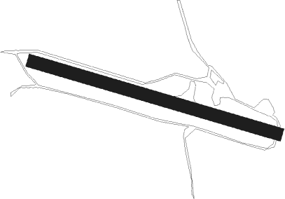
Dimbulah - Sunnymount
Airport details
| Country | Australia |
| State | Queensland |
| Region | |
| Airspace | Brisbane Ctr |
| Municipality | Mareeba Shire |
| Elevation | 1961ft (598m) |
| Timezone | GMT +10 |
| Coordinates | -17.39857, 144.88005 |
| Magnetic var | |
| Type | land |
| Available since | X-Plane v10.40 |
| ICAO code | YSMT |
| IATA code | n/a |
| FAA code | n/a |
Communication
Nearby Points of Interest:
Herberton War Memorial
-Great Northern Mine
-General Grant Mine
-Ngarrabullgan
-Cressbrook Cemetery
-Evelyn Scrub War Memorial
-Rocky Creek World War Two Hospital Complex
Nearby beacons
| code | identifier | dist | bearing | frequency |
|---|---|---|---|---|
| CS | CAIRNS NDB | 59.2 | 57° | 364 |
| CS | CAIRNS VOR/DME | 59.5 | 58° | 113 |
Disclaimer
The information on this website is not for real aviation. Use this data with the X-Plane flight simulator only! Data taken with kind consent from X-Plane 12 source code and data files. Content is subject to change without notice.