Southport
Airport details
| Country | Australia |
| State | Queensland |
| Region | YB |
| Airspace | Brisbane Ctr |
| Municipality | Gold Coast City |
| Elevation | 7ft (2m) |
| Timezone | GMT +10 |
| Coordinates | -27.92167, 153.37167 |
| Magnetic var | |
| Type | land |
| Available since | X-Plane v10.40 |
| ICAO code | YSPT |
| IATA code | SHQ |
| FAA code | n/a |
Communication
| Southport CTAF | 119.000 |
Nearby Points of Interest:
Ernest Junction Railway Tunnel
-Southport State High School Buildings
-Southport Drill Hall
-Main Beach Pavilion and Southport Surf Lifesaving Club
-Southport Cable Hut
-Kinkabool
-Queensland Korean War Memorial
-Laurel Hill Farmhouse
-Dux Hut
-Schmidt Farmhouse
-H2 Hinde Tree
-Pimpama & Ormeau War Memorial
-Tamborine Mountain Road
-Lahey's Canungra Tramway Tunnel
-Lahey's Canungra Sawmill Complex
-Tallebudgera Post Office
-Springbrook National Park
-Currumbin Wildlife Sanctuary
-St George's Anglican Church, Beenleigh
-St John's Church, Mundoolun
-Springbrook Road
-Old Carbrook State School
-Fachwerk Farmhouse
-Old Logan Village State School
-Industrial Ruins, Macleay Island
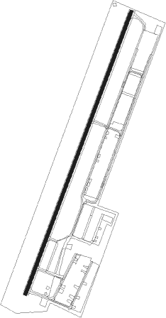
Runway info
| Runway 01 / 19 | ||
| length | 874m (2867ft) | |
| bearing | 28° / 208° | |
| width | 9m (30ft) | |
| surface | asphalt | |
| displ threshold | 220m (722ft) / 205m (673ft) | |
Nearby beacons
| code | identifier | dist | bearing | frequency |
|---|---|---|---|---|
| CG | GOLD COAST NDB | 16.1 | 152° | 278 |
| CG | GOLD COAST VOR/DME | 16.4 | 152° | 112.30 |
| BML | BROMELTON NDB | 25.1 | 265° | 374 |
| BN | BRISBANE VOR/DME | 35.5 | 337° | 113.20 |
| AMB | AMBERLEY TACAN | 38.6 | 293° | 108.10 |
| BNA | BALLINA NDB | 55.7 | 168° | 206 |
Disclaimer
The information on this website is not for real aviation. Use this data with the X-Plane flight simulator only! Data taken with kind consent from X-Plane 12 source code and data files. Content is subject to change without notice.