Sundown Valley
Airport details
| Country | Australia |
| State | New South Wales |
| Region | YB |
| Airspace | Brisbane Ctr |
| Municipality | Tamworth Regional Council |
| Elevation | 3021ft (921m) |
| Timezone | GMT +11 |
| Coordinates | -30.45208, 150.98099 |
| Magnetic var | |
| Type | land |
| Available since | X-Plane v10.40 |
| ICAO code | YSUN |
| IATA code | n/a |
| FAA code | n/a |
Communication
Nearby Points of Interest:
Captain Thunderbolt's death site
-Captain Thunderbolt's Grave
-Captain Thunderbolt's Rock
-Uralla railway station
-Dumaresq railway station
-Booloominbah
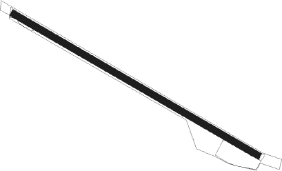
Runway info
| Runway 12 / 30 | ||
| length | 1284m (4213ft) | |
| bearing | 121° / 301° | |
| width | 30m (98ft) | |
| surface | grass | |
Nearby beacons
| code | identifier | dist | bearing | frequency |
|---|---|---|---|---|
| ARM | ARMIDALE NDB | 33.1 | 97° | 401 |
| IVL | INVERELL NDB | 35 | 16° | 260 |
| TW | TAMWORTH VOR/DME | 37.6 | 194° | 116 |
| TW | TAMWORTH NDB | 37.9 | 194° | 341 |
| GDH | GUNNEDAH NDB | 48.3 | 236° | 407 |
Disclaimer
The information on this website is not for real aviation. Use this data with the X-Plane flight simulator only! Data taken with kind consent from X-Plane 12 source code and data files. Content is subject to change without notice.