Stawell
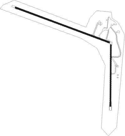
Airport details
| Country | Australia |
| State | Victoria |
| Region | YM |
| Airspace | Melbourne Ctr |
| Municipality | Stawell |
| Elevation | 807ft (246m) |
| Timezone | GMT +11 |
| Coordinates | -37.07167, 142.74028 |
| Magnetic var | |
| Type | land |
| Available since | X-Plane v10.40 |
| ICAO code | YSWL |
| IATA code | SWC |
| FAA code | n/a |
Communication
| Stawell AWIS | 122.575 |
| Stawell CTAF | 119.100 |
Nearby Points of Interest:
Stawell Post Office
-Aradale Mental Hospital

Nearby beacons
| code | identifier | dist | bearing | frequency |
|---|---|---|---|---|
| HML | HAMILTON NDB | 47.5 | 230° | 203 |
Instrument approach procedures
| runway | airway (heading) | route (dist, bearing) |
|---|---|---|
| RW11 | SWLWA (94°) | SWLWA 5000ft SWLWI (5mi, 51°) 3980ft |
| RW11 | SWLWB (111°) | SWLWB 5000ft SWLWI (5mi, 110°) 3980ft |
| RW11 | SWLWC (129°) | SWLWC 5000ft SWLWI (5mi, 186°) 3980ft |
| RNAV | SWLWI 3980ft SWLWF (5mi, 110°) 2380ft SWLWM (5mi, 110°) 792ft SWLWH (3mi, 110°) (7774mi, 285°) 4700ft | |
| RW29 | SWLED (272°) | SWLED 4700ft SWLEI (5mi, 231°) 4000ft |
| RW29 | SWLEE (290°) | SWLEE 4700ft SWLEI (5mi, 290°) 4000ft |
| RW29 | SWLEG (310°) | SWLEG 4700ft SWLEI (5mi, 6°) 4000ft |
| RNAV | SWLEI 4000ft SWLEF (5mi, 290°) 2410ft SWLEM (5mi, 290°) 817ft SWLEH (3mi, 290°) (7771mi, 285°) 4700ft |
Disclaimer
The information on this website is not for real aviation. Use this data with the X-Plane flight simulator only! Data taken with kind consent from X-Plane 12 source code and data files. Content is subject to change without notice.