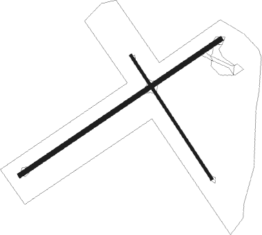
Tuncurry
Airport details
| Country | Australia |
| State | New South Wales |
| Region | YB |
| Airspace | Brisbane Ctr |
| Municipality | Mid-Coast Council |
| Elevation | 21ft (6m) |
| Timezone | GMT +11 |
| Coordinates | -32.20549, 152.47455 |
| Magnetic var | |
| Type | land |
| Available since | X-Plane v10.40 |
| ICAO code | YTNC |
| IATA code | n/a |
| FAA code | n/a |
Communication
| Tuncurry CTAF | 126.500 |
Nearby Points of Interest:
Myall Lakes
-Wingham Post Office
-Manning River railway bridge, Taree
-Stroud House
-St John the Evangelist Anglican Church, Stroud
-Tomaree Lodge

Nearby beacons
| code | identifier | dist | bearing | frequency |
|---|---|---|---|---|
| WLM | WILLIAMTOWN (NEWCASTLE) TACAN | 48.1 | 227° | 113.30 |
| WLM | WILLIAMTOWN (NEWCASTLE) NDB | 48.5 | 227° | 365 |
| PMQ | PORT MACQUARIE NDB | 50.3 | 27° | 395 |
| WMD | WEST MAITLAND NDB | 58 | 240° | 224 |
Disclaimer
The information on this website is not for real aviation. Use this data with the X-Plane flight simulator only! Data taken with kind consent from X-Plane 12 source code and data files. Content is subject to change without notice.