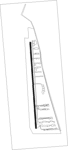
Appin - Wedderburn
Airport details
| Country | Australia |
| State | New South Wales |
| Region | YM |
| Airspace | Melbourne Ctr |
| Municipality | Appin |
| Elevation | 875ft (267m) |
| Timezone | GMT +11 |
| Coordinates | -34.18000, 150.80888 |
| Magnetic var | |
| Type | land |
| Available since | X-Plane v10.40 |
| ICAO code | YWBN |
| IATA code | n/a |
| FAA code | n/a |
Communication
| Wedderburn WEDDERBURN TRAFFIC CTAF | 122.550 |
| Wedderburn SYDNEY RADAR CNTR | 124.550 |
Nearby Points of Interest:
Beulah
-Menangle Railway Bridge
-St John's Catholic Church, Campbelltown
-Dredges Cottage
-Campbelltown Post Office
-Glenalvon House
-Camden Park Estate
-Studley Park
-Stanwell Park Rail Viaduct over Stanwell Creek
-Picton railway station
-Stonequarry Creek railway viaduct, Picton
-Camelot, Kirkham
-Upper Nepean Scheme
-Bargo railway viaduct
-Nepean Dam
-Loftus Junction railway signal box
-Wollongong railway station
-Upper Canal System
-St Luke's Anglican Church, Liverpool
-The Homestead (Georges Hall)
-Bankstown Bunker
-Lansdowne Bridge
-Cronulla sand dunes
-Lidcombe Hospital Precinct
-Prospect Reservoir Valve House
Nearby beacons
| code | identifier | dist | bearing | frequency |
|---|---|---|---|---|
| BK | BANKSTOWN (SYDNEY) NDB | 17.5 | 36° | 416 |
| WOL | WOLLONGONG NDB | 22.7 | 183° | 239 |
| SY | DME | 23.3 | 58° | 112.10 |
| RIC | RICHMOND TACAN | 34.3 | 359° | 110.70 |
| RIC | RICHMOND NDB | 35 | 357° | 347 |
| NWA | NOWRA TACAN | 48.2 | 200° | 116.40 |
| NWA | NOWRA NDB | 48.3 | 200° | 359 |
Disclaimer
The information on this website is not for real aviation. Use this data with the X-Plane flight simulator only! Data taken with kind consent from X-Plane 12 source code and data files. Content is subject to change without notice.