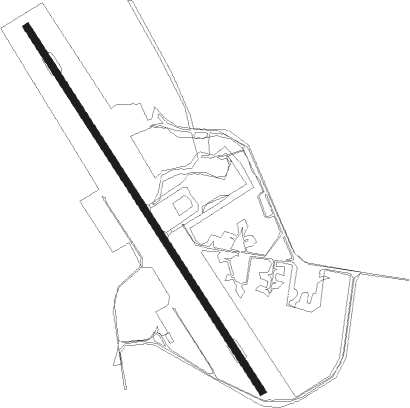
Bungundarra - Williamson (military)
Airport details
| Country | Australia |
| State | Queensland |
| Region | YB |
| Airspace | Brisbane Ctr |
| Municipality | Livingstone Shire |
| Elevation | 112ft (34m) |
| Timezone | GMT +10 |
| Coordinates | -22.47794, 150.17950 |
| Magnetic var | |
| Type | land |
| Available since | X-Plane v10.40 |
| ICAO code | YWIS |
| IATA code | n/a |
| FAA code | n/a |
Communication
| Williamson (Military) WILLIAMSON MULT | 126.700 |
| Williamson (Military) BRISBANE CNTR | 119.550 |
Nearby Points of Interest:
Shoalwater Bay
-Dunwich Convict Causeway
-Christ Church Anglican Church, St Lawrence
Nearby beacons
| code | identifier | dist | bearing | frequency |
|---|---|---|---|---|
| RK | ROCKHAMPTON NDB | 56 | 162° | 257 |
| RK | ROCKHAMPTON VOR/DME | 56.6 | 162° | 116.90 |
Instrument approach procedures
| runway | airway (heading) | route (dist, bearing) |
|---|---|---|
| RW14 | WISWA (150°) | WISWA 2700ft WISWI (4mi, 150°) 2670ft |
| RW14 | WISWB (172°) | WISWB 2700ft WISWI (4mi, 223°) 2670ft |
| RNAV | WISWI 2670ft WISWF (4mi, 150°) 1400ft WISWM (4mi, 150°) 127ft WISWH (3mi, 150°) WISWX (15mi, 280°) 4000ft |
Disclaimer
The information on this website is not for real aviation. Use this data with the X-Plane flight simulator only! Data taken with kind consent from X-Plane 12 source code and data files. Content is subject to change without notice.