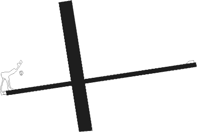
Warracknabeal
Airport details
| Country | Australia |
| State | Victoria |
| Region | YM |
| Airspace | Melbourne Ctr |
| Municipality | Shire of Yarriambiack |
| Elevation | 395ft (120m) |
| Timezone | GMT +11 |
| Coordinates | -36.32111, 142.41945 |
| Magnetic var | |
| Type | land |
| Available since | X-Plane v10.40 |
| ICAO code | YWKB |
| IATA code | WKB |
| FAA code | n/a |
Communication
| Warracknabeal CTAF | 126.700 |
Instrument approach procedures
| runway | airway (heading) | route (dist, bearing) |
|---|---|---|
| RW08-Z | WKBWD (69°) | WKBWD 2300ft WKBWI (5mi, 20°) 2300ft |
| RW08-Z | WKBWE (87°) | WKBWE 2300ft WKBWI (5mi, 87°) 2300ft |
| RW08-Z | WKBWG (104°) | WKBWG 2300ft WKBWI (5mi, 151°) 2300ft |
| RNAV | WKBWI 2300ft WKBWF (5mi, 87°) 2040ft WKBWM (5mi, 87°) 447ft WKBWH (4mi, 87°) (7791mi, 284°) 2300ft | |
| RWNVE | WKBEA (250°) | WKBEA 2300ft WKBEI (5mi, 199°) 2300ft |
| RWNVE | WKBEB (267°) | WKBEB 2300ft WKBEI (5mi, 267°) 2300ft |
| RWNVE | WKBEC (284°) | WKBEC 2300ft WKBEI (5mi, 331°) 2300ft |
| RNAV | WKBEI 2300ft WKBEF (5mi, 267°) 2120ft WKBEM (5mi, 267°) 531ft WKBEH (3mi, 267°) (7786mi, 284°) 2300ft |
Disclaimer
The information on this website is not for real aviation. Use this data with the X-Plane flight simulator only! Data taken with kind consent from X-Plane 12 source code and data files. Content is subject to change without notice.

