Waikerie
Airport details
| Country | Australia |
| State | South Australia |
| Region | YM |
| Airspace | Melbourne Ctr |
| Municipality | The District Council of Loxton Waikerie |
| Elevation | 138ft (42m) |
| Timezone | GMT +10.5 |
| Coordinates | -34.18500, 140.03000 |
| Magnetic var | |
| Type | land |
| Available since | X-Plane v10.40 |
| ICAO code | YWKI |
| IATA code | n/a |
| FAA code | n/a |
Communication
| Waikerie CTAF | 126.700 |
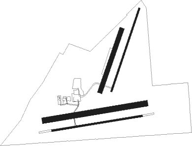
Runway info
Runway 08 / 26  | ||
| length | 964m (3163ft) | |
| bearing | 86° / 266° | |
| width | 18m (59ft) | |
| surface | asphalt | |
| displ threshold | 0m (0ft) / 4m (13ft) | |
| Runway 02 / 20 | ||
| length | 923m (3028ft) | |
| bearing | 27° / 207° | |
| width | 18m (59ft) | |
| surface | gravel | |
| displ threshold | 21m (69ft) / 6m (20ft) | |
| Runway 08L / 26R | ||
| length | 1081m (3547ft) | |
| bearing | 86° / 266° | |
| width | 60m (197ft) | |
| surface | grass | |
| Runway 02L / 20R | ||
| length | 683m (2241ft) | |
| bearing | 28° / 208° | |
| width | 50m (164ft) | |
| surface | grass | |
Disclaimer
The information on this website is not for real aviation. Use this data with the X-Plane flight simulator only! Data taken with kind consent from X-Plane 12 source code and data files. Content is subject to change without notice.