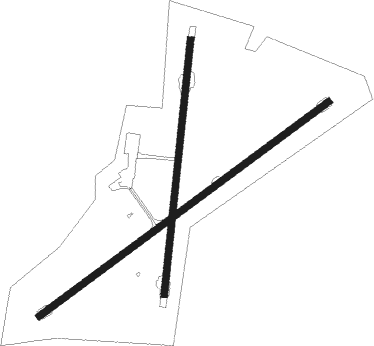
Walgett
Airport details
| Country | Australia |
| State | New South Wales |
| Region | YB |
| Airspace | Brisbane Ctr |
| Municipality | Walgett |
| Elevation | 437ft (133m) |
| Timezone | GMT +10 |
| Coordinates | -30.03278, 148.12584 |
| Magnetic var | |
| Type | land |
| Available since | X-Plane v10.40 |
| ICAO code | YWLG |
| IATA code | WGE |
| FAA code | n/a |
Communication
| Walgett CTAF | 126.700 |

Nearby beacons
| code | identifier | dist | bearing | frequency |
|---|---|---|---|---|
| WLG | WALGETT NDB | 0.3 | 341° | 374 |
Instrument approach procedures
| runway | airway (heading) | route (dist, bearing) |
|---|---|---|
| RW05 | WLGWA (41°) | WLGWA 2100ft WLGWI (5mi, 346°) 2100ft |
| RW05 | WLGWB (62°) | WLGWB 2100ft WLGWI (5mi, 62°) 2100ft |
| RW05 | WLGWC (81°) | WLGWC 2100ft WLGWI (5mi, 124°) 2100ft |
| RNAV | WLGWI 2100ft WLGWF (5mi, 62°) 2080ft YWLG (5mi, 61°) 486ft WLGWH (4mi, 62°) (8251mi, 281°) 1900ft | |
| RW23 | WLGED (221°) | WLGED 2200ft WLGEI (5mi, 166°) 2200ft |
| RW23 | WLGEE (242°) | WLGEE 2200ft WLGEI (5mi, 241°) 2200ft |
| RW23 | WLGEG (260°) | WLGEG 2200ft WLGEI (5mi, 304°) 2200ft |
| RNAV | WLGEI 2200ft WLGEF (5mi, 242°) 2160ft YWLG (6mi, 242°) 486ft WLGEH (2mi, 241°) (8245mi, 281°) 1900ft |
Disclaimer
The information on this website is not for real aviation. Use this data with the X-Plane flight simulator only! Data taken with kind consent from X-Plane 12 source code and data files. Content is subject to change without notice.