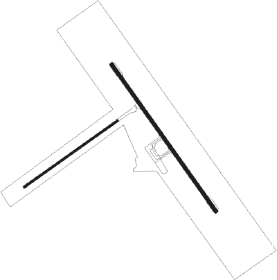
Winton
Airport details
| Country | Australia |
| State | Queensland |
| Region | YB |
| Airspace | Brisbane Ctr |
| Municipality | Winton Shire |
| Elevation | 638ft (194m) |
| Timezone | GMT +10 |
| Coordinates | -22.35667, 143.08333 |
| Magnetic var | |
| Type | land |
| Available since | X-Plane v10.40 |
| ICAO code | YWTN |
| IATA code | WIN |
| FAA code | n/a |
Communication
| Winton CTAF | 126.700 |

Instrument approach procedures
| runway | airway (heading) | route (dist, bearing) |
|---|---|---|
| RW14-Z | WTNNA (125°) | WTNNA 2500ft WTNNI (5mi, 80°) 2500ft |
| RW14-Z | WTNNC (147°) | WTNNC 2500ft WTNNI (5mi, 147°) 2500ft |
| RW14-Z | WTNND (169°) | WTNND 2500ft WTNNI (5mi, 221°) 2500ft |
| RNAV | WTNNI 2500ft WTNNF (5mi, 147°) 2370ft WTNNM (5mi, 147°) 775ft WTNNH (3mi, 147°) (8269mi, 279°) 2500ft | |
| RWNVS | WTNSJ (306°) | WTNSJ 2500ft WTNSI (5mi, 260°) 2500ft |
| RWNVS | WTNSK (327°) | WTNSK 2500ft WTNSI (5mi, 327°) 2500ft |
| RWNVS | WTNSL (349°) | WTNSL 2500ft WTNSI (5mi, 41°) 2500ft |
| RNAV | WTNSI 2500ft WTNSF (5mi, 327°) 2260ft WTNSM (5mi, 327°) 667ft WTNSH (4mi, 327°) (8269mi, 279°) 2500ft |
Disclaimer
The information on this website is not for real aviation. Use this data with the X-Plane flight simulator only! Data taken with kind consent from X-Plane 12 source code and data files. Content is subject to change without notice.