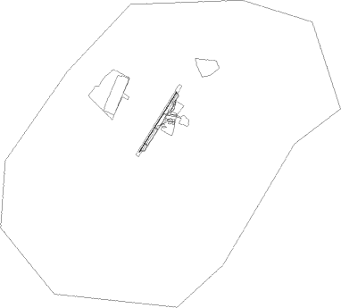
Warnervale
Airport details
| Country | Australia |
| State | New South Wales |
| Region | YM |
| Airspace | Melbourne Ctr |
| Municipality | Central Coast Council |
| Elevation | 25ft (8m) |
| Timezone | GMT +10 |
| Coordinates | -33.25000, 151.43333 |
| Magnetic var | |
| Type | land |
| Available since | X-Plane v10.40 |
| ICAO code | YWVA |
| IATA code | n/a |
| FAA code | n/a |
Communication
| Warnervale WARNERVALE CTAF | 132.100 |
| Warnervale SYDNEY CENTRE | 125.800 |
Nearby Points of Interest:
Norah Head Lightstation Precinct
-RAAF Base Rathmines
-Woy Woy Tunnel
-HMAS Parramatta Shipwreck and Memorials
-Long Island
-Loggan Rock
-MacDonald River bridge, St Albans
-Australian Convict Sites
-Great North Road
-Rising Sun Inn
-Hy Brasil
-Broadmeadow Locomotive Depot
-Castlemaine Brewery
-Shepherds Hill military installations
-University House
-Bogey Hole
-Victoria Theatre
-Newcastle Court House
-Church and Watt Street Terrace Group
-Manufacturers House
-T & G Mutual Life Assurance Building
-Carrington Pump House
-Earp Gillam Bond Store
-Newcastle railway station
-Nobbys Head Light
Nearby beacons
| code | identifier | dist | bearing | frequency |
|---|---|---|---|---|
| WMD | WEST MAITLAND NDB | 30.1 | 11° | 224 |
| WLM | WILLIAMTOWN (NEWCASTLE) NDB | 33.4 | 42° | 365 |
| WLM | WILLIAMTOWN (NEWCASTLE) TACAN | 33.8 | 41° | 113.30 |
| RIC | RICHMOND TACAN | 38.3 | 241° | 110.70 |
| RIC | RICHMOND NDB | 38.9 | 242° | 347 |
| SY | DME | 43.5 | 200° | 112.10 |
| BK | BANKSTOWN (SYDNEY) NDB | 46.4 | 213° | 416 |
Disclaimer
The information on this website is not for real aviation. Use this data with the X-Plane flight simulator only! Data taken with kind consent from X-Plane 12 source code and data files. Content is subject to change without notice.
