Ejin Banner Taolai
Airport details
| Country | China |
| State | Inner Mongolia |
| Region | |
| Airspace | Lanzhou Ctr |
| Municipality | Subonao'er |
| Elevation | 3066ft (935m) |
| Timezone | GMT +8 |
| Coordinates | 42.01973, 100.98986 |
| Magnetic var | |
| Type | land |
| Available since | X-Plane v10.40 |
| ICAO code | ZBEN |
| IATA code | n/a |
| FAA code | n/a |
Communication
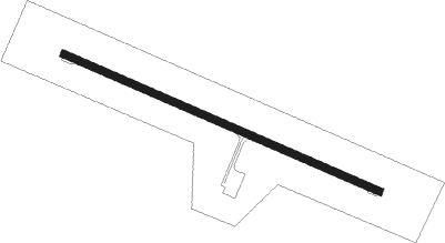
Runway info
| Runway 12 / 30 | ||
| length | 1996m (6549ft) | |
| bearing | 112° / 292° | |
| width | 45m (148ft) | |
| surface | concrete | |
| blast zone | 60m (197ft) / 60m (197ft) | |
Nearby beacons
| code | identifier | dist | bearing | frequency |
|---|---|---|---|---|
| JNQ | EJINAQI VOR/DME | 3.2 | 116° | 112.70 |
Disclaimer
The information on this website is not for real aviation. Use this data with the X-Plane flight simulator only! Data taken with kind consent from X-Plane 12 source code and data files. Content is subject to change without notice.