Xilinhot
Airport details
| Country | China |
| State | Inner Mongolia |
| Region | |
| Airspace | Beijing Ctr |
| Municipality | Xilinhot City |
| Elevation | 3326ft (1014m) |
| Timezone | GMT +8 |
| Coordinates | 43.90087, 115.95216 |
| Magnetic var | |
| Type | land |
| Available since | X-Plane v10.40 |
| ICAO code | ZBXH |
| IATA code | XIL |
| FAA code | n/a |
Communication
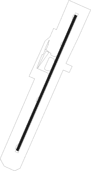
Runway info
| Runway 04 / 22 | ||
| length | 2800m (9186ft) | |
| bearing | 37° / 217° | |
| width | 45m (148ft) | |
| surface | concrete | |
Nearby beacons
| code | identifier | dist | bearing | frequency |
|---|---|---|---|---|
| HOT | XILINHOT VOR/DME | 1 | 46° | 114.30 |
Disclaimer
The information on this website is not for real aviation. Use this data with the X-Plane flight simulator only! Data taken with kind consent from X-Plane 12 source code and data files. Content is subject to change without notice.