Zhuhai - Zhuhai Jinwan
Airport details
| Country | China |
| State | Guangdong Province |
| Region | ZG |
| Airspace | Guangzhou Ctr |
| Municipality | Jinwan |
| Elevation | 25ft (8m) |
| Timezone | GMT +8 |
| Coordinates | 22.00833, 113.37833 |
| Magnetic var | |
| Type | land |
| Available since | X-Plane v10.40 |
| ICAO code | ZGSD |
| IATA code | ZUH |
| FAA code | n/a |
Communication
| Zhuhai Jinwan ATIS | 128.450 |
| Zhuhai Jinwan Ground | 121.650 |
| Zhuhai Jinwan Tower | 118.650 |
Nearby Points of Interest:
Macau
-Macau Government House
-Governador Nobre de Carvalho Bridge
-Our Lady of Penha Chapel, Macau
-Mandarin's House
-Historic Centre of Macau
-Macau Government Headquarters
-St. Augustine's Square
-Sir Robert Ho Tung Library
-Leal Senado Building
-Avenida de Almeida Ribeiro
-Macau General Post Office
-Santa Casa da Misericórdia
-Company of Jesus Square
-Macau International Airport
-Old Protestant Chapel and Cemetery (Macau)
-Macao National High-school
-Red Market
-Former Residence of Liang Qichao (Xinhui)
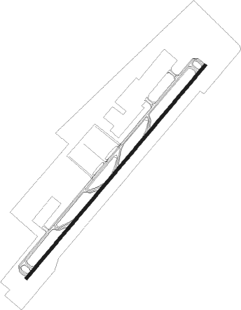
Runway info
| Runway 05 / 23 | ||
| length | 4001m (13127ft) | |
| bearing | 47° / 227° | |
| width | 45m (148ft) | |
| surface | asphalt | |
| blast zone | 65m (213ft) / 65m (213ft) | |
Nearby beacons
| code | identifier | dist | bearing | frequency |
|---|---|---|---|---|
| U | SANZAO NDB | 1.7 | 229° | 272 |
| UJ | GAOLAN NDB | 7.1 | 224° | 204 |
| ZUH | LIANSHENGWEI VOR/DME | 13.7 | 22° | 116.70 |
| MCU | MACAO VOR/DME | 14.4 | 60° | 116.40 |
| ZAO | JIUZHOU VOR/DME | 19.3 | 45° | 117.20 |
| NLG | NANLANG VOR/DME | 33 | 19° | 117.70 |
| SL | SHA LO WAN (HONG KONG) NDB | 33.9 | 62° | 268 |
| LKC | LUNG KWU CHAU VOR/DME | 35.8 | 54° | 113.20 |
| CC | HONG KONG CHEUNG NDB | 37.8 | 73° | 360 |
| CH | CHAU DME | 38.4 | 72° | 112.30 |
| SMT | SIU MO TO VOR/DME | 38.9 | 61° | 114.80 |
| SHK | SHEKOU VOR/DME | 41.3 | 47° | 115.90 |
| SC | STONECUTTERS (HONG KONG) NDB | 45.9 | 68° | 236 |
| RW | HONG KONG NDB | 49 | 69° | 377 |
| TH | TATHONG POINT VOR_DME VOR/DME | 52.5 | 76° | 115.50 |
| TD | TUNG LUNG VOR/DME | 52.8 | 75° | 116.10 |
| GLN | GUANLAN VOR/DME | 55.5 | 43° | 112 |
Disclaimer
The information on this website is not for real aviation. Use this data with the X-Plane flight simulator only! Data taken with kind consent from X-Plane 12 source code and data files. Content is subject to change without notice.