Ulgii
Airport details
| Country | Mongolia |
| State | Bayan-Ölgii |
| Region | ZM |
| Airspace | Ulaanbaatar Ctr |
| Municipality | Olgii |
| Elevation | 5682ft (1732m) |
| Timezone | GMT +7 |
| Coordinates | 48.99417, 89.92333 |
| Magnetic var | |
| Type | land |
| Available since | X-Plane v10.40 |
| ICAO code | ZMUL |
| IATA code | ULG |
| FAA code | n/a |
Communication
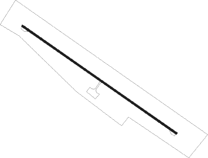
Runway info
| Runway 13 / 31 | ||
| length | 2842m (9324ft) | |
| bearing | 118° / 298° | |
| width | 30m (98ft) | |
| surface | concrete | |
| blast zone | 62m (203ft) / 61m (200ft) | |
Instrument approach procedures
| runway | airway (heading) | route (dist, bearing) |
|---|---|---|
| RW31-V | UL101 (266°) | UL101 12800ft UL103 (6mi, 256°) 10830ft |
| RW31-V | UL102 (249°) | UL102 12800ft UL103 (10mi, 179°) 10830ft |
| RNAV | UL103 10830ft UL104 (9mi, 256°) 9030ft UL31M (6mi, 276°) 8540ft UL13M (5mi, 294°) UL103 (18mi, 91°) UL101 (6mi, 76°) 12800ft |
Disclaimer
The information on this website is not for real aviation. Use this data with the X-Plane flight simulator only! Data taken with kind consent from X-Plane 12 source code and data files. Content is subject to change without notice.