Shiquanhe - Ngari Gunsa
Airport details
| Country | China |
| State | Tibet |
| Region | |
| Airspace | Urumqi Ctr |
| Municipality | Günsa Township |
| Elevation | 14015ft (4272m) |
| Timezone | GMT +8 |
| Coordinates | 32.10284, 80.05207 |
| Magnetic var | |
| Type | land |
| Available since | X-Plane v10.40 |
| ICAO code | ZUAL |
| IATA code | NGQ |
| FAA code | n/a |
Communication
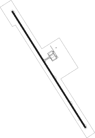
Runway info
| Runway 15 / 33 | ||
| length | 4514m (14810ft) | |
| bearing | 148° / 328° | |
| width | 46m (150ft) | |
| surface | concrete | |
Disclaimer
The information on this website is not for real aviation. Use this data with the X-Plane flight simulator only! Data taken with kind consent from X-Plane 12 source code and data files. Content is subject to change without notice.