Tongren Fenghuang
Airport details
| Country | China |
| State | Guizhou |
| Region | |
| Airspace | Kunming Ctr |
| Municipality | Songtao Miao Autonomous County |
| Elevation | 2315ft (706m) |
| Timezone | GMT +8 |
| Coordinates | 27.87765, 109.30251 |
| Magnetic var | |
| Type | land |
| Available since | X-Plane v10.40 |
| ICAO code | ZUTR |
| IATA code | TEN |
| FAA code | n/a |
Communication
Nearby Points of Interest:
Fenghuang County
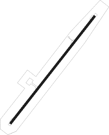
Runway info
| Runway 04 / 22 | ||
| length | 2598m (8524ft) | |
| bearing | 46° / 226° | |
| width | 45m (148ft) | |
| surface | concrete | |
Nearby beacons
| code | identifier | dist | bearing | frequency |
|---|---|---|---|---|
| TRN | TONGREN VOR/DME | 0.7 | 225° | 115.20 |
| ZHJ | ZHIJIANG VOR/DME | 33.5 | 136° | 117.80 |
| HUY | HUAYUAN VOR/DME | 42.8 | 12° | 112 |
Disclaimer
The information on this website is not for real aviation. Use this data with the X-Plane flight simulator only! Data taken with kind consent from X-Plane 12 source code and data files. Content is subject to change without notice.