Tacheng
Airport details
| Country | China |
| State | Xinjiang |
| Region | |
| Airspace | Urumqi Ctr |
| Municipality | Chasha |
| Elevation | 1980ft (604m) |
| Timezone | GMT +8 |
| Coordinates | 46.67687, 83.33266 |
| Magnetic var | |
| Type | land |
| Available since | X-Plane v10.40 |
| ICAO code | ZWTC |
| IATA code | TCG |
| FAA code | n/a |
Communication
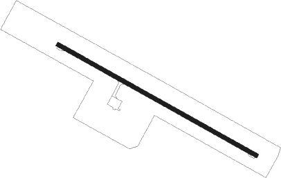
Runway info
| Runway 12 / 30 | ||
| length | 2395m (7858ft) | |
| bearing | 115° / 295° | |
| width | 44m (144ft) | |
| surface | asphalt | |
| blast zone | 60m (197ft) / 60m (197ft) | |
Nearby beacons
| code | identifier | dist | bearing | frequency |
|---|---|---|---|---|
| TCH | TACHENG VOR/DME | 0.7 | 125° | 113.10 |
Disclaimer
The information on this website is not for real aviation. Use this data with the X-Plane flight simulator only! Data taken with kind consent from X-Plane 12 source code and data files. Content is subject to change without notice.