Satanta - Satanta Muni
Airport details
| Country | United States of America |
| State | Kansas |
| Region | K3 |
| Airspace | Kansas City Ctr |
| Municipality | Haskell County |
| Elevation | 2976ft (907m) |
| Timezone | GMT -6 |
| Coordinates | 37.45667, -100.98461 |
| Magnetic var | |
| Type | land |
| Available since | X-Plane v10.40 |
| ICAO code | 1K9 |
| IATA code | n/a |
| FAA code | 1K9 |
Communication
| Satanta Muni CTAF/UNICOM | 122.800 |
Nearby Points of Interest:
Wagon Bed Spring
-Grant County Courthouse District
-Windsor Hotel
-Cedar Cliff
-Hope House
-Sen. William H. Thompson House
-Bungalow Historic District
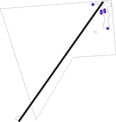
Runway info
| Runway 3 / 21 | ||
| length | 1026m (3366ft) | |
| bearing | 46° / 226° | |
| width | 12m (40ft) | |
| surface | asphalt | |
Nearby beacons
| code | identifier | dist | bearing | frequency |
|---|---|---|---|---|
| ULS | ULYSSES NDB | 20.1 | 290° | 395 |
| LBL | LIBERAL VORTAC | 24.7 | 178° | 112.30 |
| GC | PIEVE (GARDEN CITY) NDB | 25.5 | 35° | 347 |
| HQG | HUGOTON NDB | 25.6 | 233° | 365 |
| LB | PANCK (LIBERAL) NDB | 29.5 | 177° | 383 |
| GCK | GARDEN CITY VORTAC | 30.3 | 29° | 113.30 |
| GUY | GUYMON NDB | 51.5 | 215° | 275 |
| DDC | DODGE CITY VORTAC | 52.2 | 68° | 108.20 |
Disclaimer
The information on this website is not for real aviation. Use this data with the X-Plane flight simulator only! Data taken with kind consent from X-Plane 12 source code and data files. Content is subject to change without notice.