Lake Katrine - Kingston Ulster
Airport details
| Country | United States of America |
| State | New York |
| Region | K6 |
| Airspace | Boston Ctr |
| Municipality | Town of Ulster |
| Elevation | 147ft (45m) |
| Timezone | GMT -5 |
| Coordinates | 41.98525, -73.96433 |
| Magnetic var | |
| Type | land |
| Available since | X-Plane v10.40 |
| ICAO code | 20N |
| IATA code | n/a |
| FAA code | n/a |
Communication
| KINGSTON ULSTER CTAF/UNICOM | 122.800 |
| KINGSTON ULSTER AI Tower | 128.800 |
| KINGSTON ULSTER NEW YORK Approach/Departure | 132.750 |
Nearby Points of Interest:
Benjamin Ten Broeck House
-Rokeby
-House at 356 Albany Avenue
-Cox Farmhouse
-Cordts Mansion
-House at 322 Albany Avenue
-House at 313 Albany Avenue
-Heermance House and Law Office
-Neher–Elseffer House
-House at 184 Albany Avenue
-Jacob Ten Broeck Stone House
-St. Margaret's Home
-The Maples
-Sipperly-Lown Farmhouse
-George J. Smith House
-John Smith House
-Kingston City Hall
-Maizefield
-Kingston City Library
-James and Mary Forsyth House
-Riverside Methodist Church and Parsonage
-Traver House
-O'Brien General Store and Post Office
-Frank A. Palen House
-Morton Memorial Library
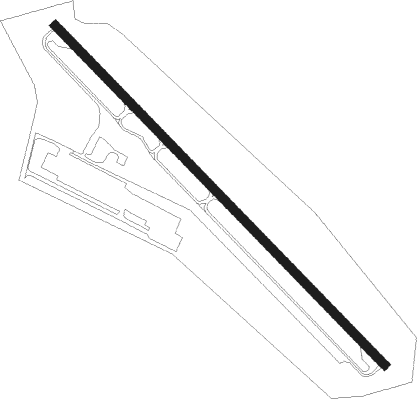
Runway info
| Runway 15 / 33 | ||
| length | 946m (3104ft) | |
| bearing | 132° / 312° | |
| width | 18m (60ft) | |
| surface | asphalt | |
| displ threshold | 72m (236ft) / 94m (308ft) | |
Nearby beacons
| code | identifier | dist | bearing | frequency |
|---|---|---|---|---|
| PFH | PHILMONT (HUDSON) NDB | 19.3 | 42° | 272 |
| IGN | KINGSTON VOR/DME | 20.2 | 156° | 117.60 |
| PWL | PAWLING (POUGHKEEPSIE) VOR/DME | 20.7 | 121° | 114.30 |
| SKU | STANWYCK (NEWBURGH) NDB | 27.6 | 190° | 261 |
| SW | NEELY (NEWBURGH) NDB | 32.2 | 208° | 335 |
| HUO | HUGUENOT VOR/DME | 44.5 | 227° | 116.10 |
| CMK | CARMEL VOR/DME | 45.7 | 151° | 116.60 |
| DNY | DE LANCEY VOR/DME | 45.7 | 281° | 112.10 |
| ALB | ALBANY VORTAC | 46.3 | 12° | 115.30 |
| AL | HAWKY (ALBANY) NDB | 50.4 | 11° | 219 |
| HEU | HUNTER (SCHENECTADY) NDB | 52.2 | 2° | 356 |
| SAX | SPARTA VORTAC | 60.8 | 212° | 115.70 |
| BDR | BRIDGEPORT VOR/DME | 62.2 | 134° | 108.80 |
| STW | STILLWATER VOR/DME | 72 | 222° | 109.60 |
Instrument approach procedures
| runway | airway (heading) | route (dist, bearing) |
|---|---|---|
| RW15 | ILGEZ (197°) | ILGEZ WOBVU (4mi, 226°) 3200ft |
| RNAV | WOBVU 3200ft IMIBE (8mi, 200°) 1600ft FRLDI (1mi, 166°) 1080ft NEWMN (2mi, 166°) 458ft (4694mi, 120°) 547ft JOEYL (4680mi, 300°) 3000ft JOEYL (turn) | |
| RW33 | PWL (301°) | PWL ITTLE (10mi, 290°) 2900ft |
| RNAV | ITTLE 2900ft BFINE (3mi, 312°) 2900ft ZUNLI (3mi, 312°) 1600ft 20N (4mi, 312°) 196ft (4694mi, 120°) 600ft PWL (4675mi, 300°) 3000ft PWL (turn) |
Disclaimer
The information on this website is not for real aviation. Use this data with the X-Plane flight simulator only! Data taken with kind consent from X-Plane 12 source code and data files. Content is subject to change without notice.