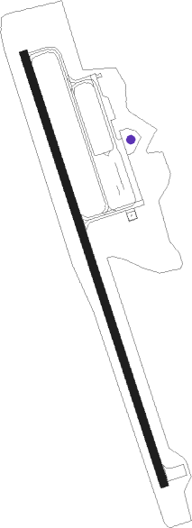
Cavalier - Cavalier Muni
Airport details
| Country | United States of America |
| State | North Dakota |
| Region | K3 |
| Airspace | Minneapolis Ctr |
| Municipality | Pembina County |
| Elevation | 892ft (272m) |
| Timezone | GMT -6 |
| Coordinates | 48.78372, -97.63197 |
| Magnetic var | |
| Type | land |
| Available since | X-Plane v10.40 |
| ICAO code | 2C8 |
| IATA code | n/a |
| FAA code | n/a |
Communication
| Cavalier Muni AWOS | 118.275 |
| Cavalier Muni CTAF/UNICOM | 122.800 |
Nearby Points of Interest:
Pembina County Courthouse
-Gingras Trading Post State Historic Site
-Walla Theatre
-RSL-3
-Grafton State School
-Walsh County Courthouse
Nearby beacons
| code | identifier | dist | bearing | frequency |
|---|---|---|---|---|
| HML | HUMBOLDT TACAN | 20.9 | 81° | 112.40 |
| RDR | RED RIVER (GRAND FORKS) TACAN | 50.4 | 165° | 116.40 |
| GFK | GRAND FORKS VOR/DME | 52.8 | 152° | 114.30 |
| LF | LA SALLE NDB | 53.1 | 21° | 336 |
| GF | HISER NDB | 59 | 154° | 345 |
Instrument approach procedures
| runway | airway (heading) | route (dist, bearing) |
|---|---|---|
| RW34 | HML (261°) | HML ATODE (17mi, 226°) 2500ft WOLVA (8mi, 261°) 2500ft |
| RW34 | NALCO (294°) | NALCO ATODE (10mi, 289°) 2500ft WOLVA (8mi, 261°) 2500ft |
| RW34 | WOLVA (340°) | WOLVA 2500ft |
| RNAV | WOLVA 2500ft RINAE (6mi, 340°) 2500ft 2C8 (5mi, 340°) 931ft (5707mi, 117°) 1500ft HML (5686mi, 297°) 3500ft HML (turn) |
Disclaimer
The information on this website is not for real aviation. Use this data with the X-Plane flight simulator only! Data taken with kind consent from X-Plane 12 source code and data files. Content is subject to change without notice.