Waterville
Airport details
| Country | United States of America |
| State | Washington |
| Region | |
| Airspace | Seattle Ctr |
| Municipality | Waterville |
| Elevation | 2640ft (805m) |
| Timezone | GMT -8 |
| Coordinates | 47.65601, -120.06281 |
| Magnetic var | |
| Type | land |
| Available since | X-Plane v10.40 |
| ICAO code | 2S5 |
| IATA code | n/a |
| FAA code | 2S5 |
Communication
Nearby Points of Interest:
Douglas County Courthouse
-Chelan Butte Lookout
-Badger Mountain Lookout
-Wenatchee Fire Station No. 1
-Senator George Sellar Bridge
-Withrow Moraine and Jameson Lake Drumlin Field
-Leavenworth Ranger Station
-Gallaher House
-Columbia River Bridge
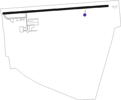
Runway info
| Runway 7 / 25 | ||
| length | 851m (2792ft) | |
| bearing | 90° / 270° | |
| width | 15m (50ft) | |
| surface | asphalt | |
| displ threshold | 78m (256ft) / 0m (0ft) | |
| blast zone | 0m (0ft) / 79m (259ft) | |
Nearby beacons
| code | identifier | dist | bearing | frequency |
|---|---|---|---|---|
| EAT | WENATCHEE VOR/DME | 16.5 | 210° | 111 |
| EPH | EPHRATA VORTAC | 30.8 | 114° | 112.60 |
| MWH | MOSES LAKE VOR/DME | 40.4 | 121° | 115 |
| ELN | ELLENSBURG (ELLENSBERG) VOR/DME | 41.2 | 212° | 117.90 |
| MW | PELLY (MOSES LAKE) NDB | 45.6 | 124° | 408 |
Disclaimer
The information on this website is not for real aviation. Use this data with the X-Plane flight simulator only! Data taken with kind consent from X-Plane 12 source code and data files. Content is subject to change without notice.