Stanley - Thomas Creek
Airport details
| Country | United States of America |
| State | Idaho |
| Region | |
| Airspace | Salt Lake City Ctr |
| Municipality | Valley County |
| Elevation | 4398ft (1341m) |
| Timezone | GMT -7 |
| Coordinates | 44.72164, -115.00637 |
| Magnetic var | |
| Type | land |
| Available since | X-Plane v10.40 |
| ICAO code | 2U8 |
| IATA code | n/a |
| FAA code | 2U8 |
Communication
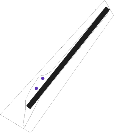
Runway info
| Runway 03 / 21 | ||
| length | 572m (1877ft) | |
| bearing | 53° / 233° | |
| width | 23m (75ft) | |
| surface | gravel | |
Nearby beacons
| code | identifier | dist | bearing | frequency |
|---|---|---|---|---|
| LKT | SALMON VOR/DME | 43.1 | 72° | 113.50 |
Disclaimer
The information on this website is not for real aviation. Use this data with the X-Plane flight simulator only! Data taken with kind consent from X-Plane 12 source code and data files. Content is subject to change without notice.