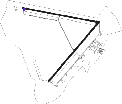
Keystone Heights - Keystone Airpark
Airport details
| Country | United States of America |
| State | Florida |
| Region | K7 |
| Airspace | Jacksonville Ctr |
| Municipality | Bradford County |
| Elevation | 194ft (59m) |
| Timezone | GMT -5 |
| Coordinates | 29.84475, -82.04753 |
| Magnetic var | |
| Type | land |
| Available since | X-Plane v10.40 |
| ICAO code | 42J |
| IATA code | n/a |
| FAA code | 42J |
Communication
| Keystone Airpark AWOS 3 | 124.275 |
| Keystone Airpark CTAF/UNICOM | 122.700 |
| Keystone Airpark JACKSONVILLE Approach/Departure | 118.175 |
Nearby Points of Interest:
Call Street Historic District
-Waldo Historic District
-Melrose Historic District
-Lake Pithlachocco Canoe Site
-Neilson House
-Memorial Home Community Historic District
-Interlachen Hall
-Frosard W. Budington House
-George A. Chalker House
-Clark-Chalker House
-George Randolph Frisbee, Jr. House
-Haskell-Long House
-Rochelle School
-Mary Phifer McKenzie House
-Southeast Gainesville Residential District
-Maj. James B. Bailey House
-Masonic Temple
-Pleasant Street Historic District
-Cox Furniture Store
-James W. Townsend House
-Townsend Building
-Old Gainesville Depot
-Cox Furniture Warehouse
-Baird Hardware Company Warehouse
-Boulware Springs Water Works

Nearby beacons
| code | identifier | dist | bearing | frequency |
|---|---|---|---|---|
| GN | WYNDS (GAINESVILLE) NDB | 12.3 | 215° | 269 |
| GNV | GATORS VORTAC | 14.9 | 236° | 116.20 |
| RYD | REYNOLDS (GREEN COVE SPRINGS) NDB | 21.5 | 73° | 338 |
| NZC | CECIL TACAN | 24.3 | 25° | 114.10 |
| NIP | JACKSONVILLE TACAN | 30.3 | 44° | 108.20 |
| LCQ | LAKE CITY NDB | 34.3 | 303° | 204 |
| SGJ | SAINT AUGUSTINE VOR/DME | 37.9 | 81° | 109.40 |
| JA | DINNS (JACKSONVILLE) NDB | 39.3 | 22° | 344 |
| CRG | CRAIG (JACKSONVILLE) VORTAC | 40.7 | 47° | 114.50 |
| OCF | OCALA VORTAC | 41.1 | 195° | 113.70 |
| NRB | MAYPORT TACAN | 46 | 49° | 111.40 |
| TAY | TAYLOR VORTAC | 47.5 | 323° | 112.90 |
| OMN | ORMOND BEACH VORTAC | 58.6 | 120° | 112.60 |
Instrument approach procedures
| runway | airway (heading) | route (dist, bearing) |
|---|---|---|
| RW05 | AMLAW (70°) | AMLAW TOLBY (5mi, 131°) 3000ft |
| RW05 | BUHAR (24°) | BUHAR TOLBY (5mi, 311°) 3000ft |
| RW05 | TOLBY (48°) | TOLBY 3000ft |
| RNAV | TOLBY 3000ft DIPZI (6mi, 49°) 1800ft CANCO (4mi, 49°) 543ft (4992mi, 110°) 596ft TOLBY (4999mi, 290°) 3000ft TOLBY (turn) |
Disclaimer
The information on this website is not for real aviation. Use this data with the X-Plane flight simulator only! Data taken with kind consent from X-Plane 12 source code and data files. Content is subject to change without notice.