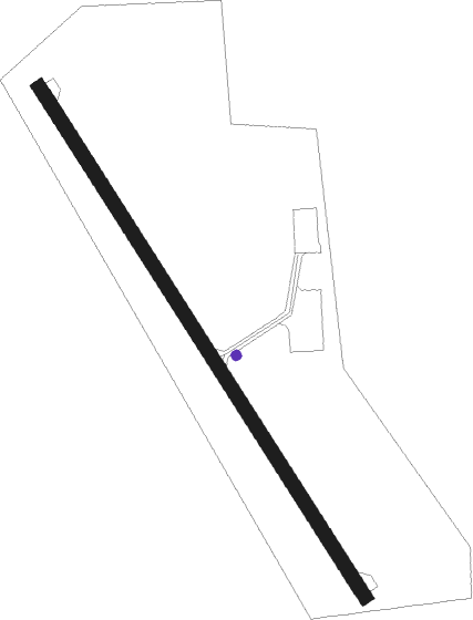
Pinecreek - Piney Pinecreek Border
Airport details
| Country | Canada |
| State | Manitoba |
| Region | |
| Airspace | Winnipeg Ctr |
| Municipality | Rural Municipality of Piney |
| Elevation | 1078ft (329m) |
| Timezone | GMT -6 |
| Coordinates | 49.00296, -95.98533 |
| Magnetic var | |
| Type | land |
| Available since | X-Plane v10.40 |
| ICAO code | 48Y |
| IATA code | n/a |
| FAA code | 48Y |
Communication
| PINEY PINECREEK BORDER AWOS | 108.800 |
| PINEY PINECREEK BORDER CTAF/Unicom | 122.800 |
Nearby Points of Interest:
Roseau County Courthouse
-St. Nicholas Orthodox Church
Nearby beacons
| code | identifier | dist | bearing | frequency |
|---|---|---|---|---|
| ROX | ROSEAU VOR/DME | 14.5 | 117° | 108.80 |
| SW | ROADD (WARROAD) NDB | 30.5 | 101° | 360 |
| TVF | THIEF RIVER FALLS VOR/DME | 56.6 | 192° | 114.45 |
Instrument approach procedures
| runway | airway (heading) | route (dist, bearing) |
|---|---|---|
| RW15 | COLTU (141°) | COLTU 3700ft |
| RNAV | COLTU 3700ft RAROE (4mi, 141°) 2800ft JIRMA (3mi, 141°) 1840ft 48Y (2mi, 141°) 1122ft (5641mi, 117°) 1460ft OTBEE (5637mi, 297°) 3000ft OTBEE (turn) | |
| RW33 | OTBEE (321°) | OTBEE 3000ft |
| RW33 | TITUE (313°) | TITUE OTBEE (20mi, 309°) 3000ft |
| RNAV | OTBEE 3000ft JURUN (3mi, 321°) 2800ft FEDPO (4mi, 321°) 1580ft 48Y (2mi, 321°) 1107ft (5641mi, 117°) 1440ft COLTU (5645mi, 297°) 3700ft COLTU (turn) |
Disclaimer
The information on this website is not for real aviation. Use this data with the X-Plane flight simulator only! Data taken with kind consent from X-Plane 12 source code and data files. Content is subject to change without notice.