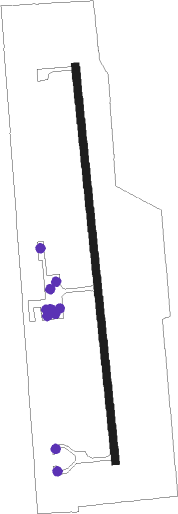
Alma - Alma Municipal
Airport details
| Country | United States of America |
| State | Nebraska |
| Region | |
| Airspace | Denver Ctr |
| Municipality | Harlan County |
| Elevation | 2071ft (631m) |
| Timezone | GMT -6 |
| Coordinates | 40.11685, -99.34653 |
| Magnetic var | |
| Type | land |
| Available since | X-Plane v10.30 |
| ICAO code | 4D9 |
| IATA code | n/a |
| FAA code | 4D9 |
Communication
| Alma Municipal Alma CTAF | 122.900 |
Nearby Points of Interest:
Alma City Auditorium and Sale Barn
-First Congregational Church, U.C.C.
-Kinner House
-Home on the Range Cabin
-Kirwin City Hall
-Kearney County Courthouse
-W. T. Thorne Building
Runway info
| Runway 17 / 35 | ||
| length | 977m (3205ft) | |
| bearing | 178° / 358° | |
| width | 18m (60ft) | |
| surface | concrete | |
Nearby beacons
| code | identifier | dist | bearing | frequency |
|---|---|---|---|---|
| NRN | NORTON NDB | 29.5 | 244° | 230 |
| EAR | KEARNEY VOR | 39.7 | 29° | 111.20 |
| HSI | HASTINGS VOR/DME | 51.1 | 62° | 108.80 |
| OZB | COZAD VOR | 54.3 | 319° | 109 |
| HLC | HILL CITY VORTAC | 65.6 | 226° | 113.70 |
Instrument approach procedures
| runway | airway (heading) | route (dist, bearing) |
|---|---|---|
| RW17 | PERDY (178°) | PERDY 5000ft |
| RNAV | PERDY 5000ft APUNE (6mi, 178°) 3900ft FOXEM (4mi, 178°) 2780ft 4D9 (2mi, 178°) 2113ft (5834mi, 112°) 2404ft SHEND (5835mi, 292°) 5000ft SHEND (turn) | |
| RW35 | SHEND (358°) | SHEND 5000ft |
| RNAV | SHEND 5000ft JESOB (7mi, 358°) 3800ft HUSTO (3mi, 358°) 2800ft 4D9 (3mi, 358°) 2103ft (5834mi, 112°) 2403ft PERDY (5833mi, 292°) 5000ft PERDY (turn) |
Disclaimer
The information on this website is not for real aviation. Use this data with the X-Plane flight simulator only! Data taken with kind consent from X-Plane 12 source code and data files. Content is subject to change without notice.
