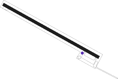
Dauphin Island
Airport details
| Country | United States of America |
| State | Alabama |
| Region | K7 |
| Airspace | Houston Oceanic Ctr |
| Municipality | Dauphin Island |
| Elevation | 4ft (1m) |
| Timezone | GMT -6 |
| Coordinates | 30.26049, -88.12747 |
| Magnetic var | |
| Type | land |
| Available since | X-Plane v10.40 |
| ICAO code | 4R9 |
| IATA code | n/a |
| FAA code | 4R9 |
Communication
| Dauphin Island CTAF/UNICOM | 122.800 |
Nearby Points of Interest:
USS Tecumseh (1863)
-Bishop Manor Estate
-Street House
-Grand Bay Historic District
-Twin Beach AME Church
-Lebanon Chapel AME Church
-United States Post Office
-Governor's Club
-Sunnyside Hotel
-St. Paul's Episcopal Church
-Martin Lindsey House
-Bellevue
-Tolstoy Park
-Montrose Historic District
-Old Pascagoula High School
-Pascagoula Central Fire Station No. 1
-Pascagoula station
-Methodist Episcopal Church, South (Daphne, Alabama)
-Old Spanish Fort
-St. Mary's By the River
-Griffin House
-Miller-O'Donnell House
-Foley Downtown Historic District
-Azalea Court Apartments
-Paterson House (Mobile, Alabama)
Nearby beacons
| code | identifier | dist | bearing | frequency |
|---|---|---|---|---|
| BFM | BROOKLEY (MOBILE) VORTAC | 21.4 | 12° | 112.80 |
| SJI | SEMMES (MOBILE) VORTAC | 30.4 | 334° | 115.30 |
| MOB | WISLE (MOBILE) NDB | 31.3 | 341° | 248 |
| NPA | PENSACOLA TACAN | 42.4 | 83° | 117.20 |
| BIX | KEESLER (BILOXI) TACAN | 42.5 | 280° | 111.80 |
| NUN | SAUFLEY (PENSACOLA) VOR | 42.9 | 75° | 108.80 |
| GPT | GULFPORT VORTAC | 49.9 | 279° | 109 |
| PKZ | PICKENS (PENSACOLA) NDB | 50.3 | 79° | 326 |
| GCV | GREENE CO. (LEAKESVILLE) VORTAC | 53.5 | 337° | 115.70 |
Disclaimer
The information on this website is not for real aviation. Use this data with the X-Plane flight simulator only! Data taken with kind consent from X-Plane 12 source code and data files. Content is subject to change without notice.
