Ozona - Perry Ranch
Airport details
| Country | United States of America |
| State | Texas |
| Region | |
| Airspace | Houston Oceanic Ctr |
| Municipality | Crockett County |
| Elevation | 2250ft (686m) |
| Timezone | GMT -6 |
| Coordinates | 30.63065, -101.04317 |
| Magnetic var | |
| Type | land |
| Available since | X-Plane v10.40 |
| ICAO code | 4TA8 |
| IATA code | n/a |
| FAA code | 4TA8 |
Communication
Nearby Points of Interest:
Crockett County Courthouse
-Sutton County Courthouse
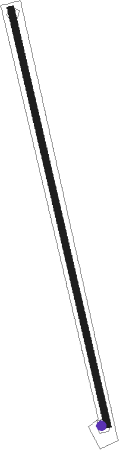
Runway info
| Runway 16 / 34 | ||
| length | 1007m (3304ft) | |
| bearing | 170° / 350° | |
| width | 15m (50ft) | |
| surface | gravel | |
Nearby beacons
| code | identifier | dist | bearing | frequency |
|---|---|---|---|---|
| SOA | SONORA NDB | 20.6 | 97° | 371 |
| SJ | WOOLE (SAN ANGELO) NDB | 45.8 | 36° | 356 |
| RSG | ROCKSPRINGS VORTAC | 53.4 | 130° | 114.55 |
| SJT | SAN ANGELO VORTAC | 53.9 | 38° | 115.10 |
Disclaimer
The information on this website is not for real aviation. Use this data with the X-Plane flight simulator only! Data taken with kind consent from X-Plane 12 source code and data files. Content is subject to change without notice.