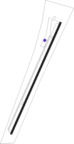
Winona - Winona-montgomery County
Airport details
| Country | United States of America |
| State | Mississippi |
| Region | K7 |
| Airspace | Memphis Ctr |
| Municipality | Montgomery County |
| Elevation | 360ft (110m) |
| Timezone | GMT -6 |
| Coordinates | 33.46499, -89.73022 |
| Magnetic var | |
| Type | land |
| Available since | X-Plane v10.40 |
| ICAO code | 5A6 |
| IATA code | n/a |
| FAA code | n/a |
Communication
| Winona-Montgomery County CTAF | 122.900 |
Nearby Points of Interest:
Immanuel Episcopal Church
-Cotesworth
-Acona Church, Cemetery, and School
-Odd Fellows and Confederate Cemetery
-Grenada Masonic Temple
-Wesley Memorial Methodist Episcopal
-Southworth House
-Old First Presbyterian Church
Runway info
| Runway 3 / 21 | ||
| length | 1220m (4003ft) | |
| bearing | 33° / 213° | |
| width | 18m (60ft) | |
| surface | asphalt | |
Nearby beacons
| code | identifier | dist | bearing | frequency |
|---|---|---|---|---|
| GW | TEOCK NDB | 19.3 | 290° | 349 |
| SQS | SIDON VORTAC | 27.4 | 270° | 114.70 |
| UV | TUNNG (OXFORD) NDB | 55.5 | 6° | 426 |
| TU | VERON (TUPELO) NDB | 64.3 | 53° | 420 |
| OTB | TUPELO VOR/DME | 65.1 | 51° | 109.80 |
Instrument approach procedures
| runway | airway (heading) | route (dist, bearing) |
|---|---|---|
| RW03 | GUCEY (33°) | GUCEY 2500ft |
| RNAV | GUCEY 2500ft RASME (6mi, 33°) 2000ft 5A6 (5mi, 33°) 378ft (5392mi, 110°) 764ft GUNKE (5386mi, 291°) 2400ft GUNKE (turn) | |
| RW21 | GUNKE (213°) | GUNKE 2400ft |
| RNAV | GUNKE 2400ft FEDIX (6mi, 213°) 2100ft YANUV (3mi, 213°) 1080ft 5A6 (3mi, 213°) 394ft (5392mi, 110°) 764ft GUCEY (5397mi, 290°) 2500ft GUCEY (turn) |
Disclaimer
The information on this website is not for real aviation. Use this data with the X-Plane flight simulator only! Data taken with kind consent from X-Plane 12 source code and data files. Content is subject to change without notice.
