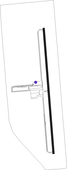
Pablo - Ronan
Airport details
| Country | United States of America |
| State | Montana |
| Region | K1 |
| Airspace | Salt Lake City Ctr |
| Municipality | Lake County |
| Elevation | 3083ft (940m) |
| Timezone | GMT -7 |
| Coordinates | 47.56717, -114.10107 |
| Magnetic var | |
| Type | land |
| Available since | X-Plane v10.40 |
| ICAO code | 7S0 |
| IATA code | n/a |
| FAA code | n/a |
Communication
| Ronan CTAF/UNICOM | 122.800 |
Nearby Points of Interest:
Don E. Olsson House and Garage
-Fort Connah Site
-St. Joseph's Catholic Church
-Big Arm School
-Dayton State Bank
Nearby beacons
| code | identifier | dist | bearing | frequency |
|---|---|---|---|---|
| SAK | SMITH LAKE (KALISPELL) NDB | 35.5 | 326° | 515 |
| FCA | KALISPELL VOR/DME | 38.9 | 353° | 113.20 |
| MSO | MISSOULA VOR/DME | 39.5 | 178° | 112.80 |
Departure and arrival routes
| Transition altitude | 18000ft |
| Transition level | 18000ft |
| SID end points | distance | outbound heading | |
|---|---|---|---|
| RW16 | |||
| HANIM2 | 18mi | 257° | |
| RW34 | |||
| RONAN3 | 24mi | 352° | |
Instrument approach procedures
| runway | airway (heading) | route (dist, bearing) |
|---|---|---|
| RW16 | ANGIL (172°) | ANGIL EGOCY (9mi, 159°) 6700ft |
| RW16 | HANIM (77°) | HANIM DMESR (23mi, 38°) 7900ft EGOCY (6mi, 90°) 6700ft |
| RNAV | EGOCY 6700ft FATMI (7mi, 180°) 5600ft GEDKE (4mi, 180°) 4400ft 7S0 (4mi, 180°) 3126ft (6366mi, 113°) 3443ft IBBOR (6367mi, 293°) HANIM (17mi, 270°) 13000ft HANIM (turn) 13000ft | |
| RW34 | ARLEE (360°) | ARLEE LAVBE (9mi, 360°) 7200ft |
| RW34 | HANIM (77°) | HANIM NALSE (16mi, 121°) 7900ft LAVBE (5mi, 90°) 7200ft |
| RNAV | LAVBE 7200ft JAKBA (8mi, 360°) 5800ft OBTOW (6mi, 360°) 3900ft 7S0 (3mi, 360°) 3119ft (6366mi, 113°) 3438ft PEKBE (6364mi, 293°) QATQI (7mi, 270°) HANIM (14mi, 234°) 13000ft HANIM (turn) 13000ft |
Disclaimer
The information on this website is not for real aviation. Use this data with the X-Plane flight simulator only! Data taken with kind consent from X-Plane 12 source code and data files. Content is subject to change without notice.
