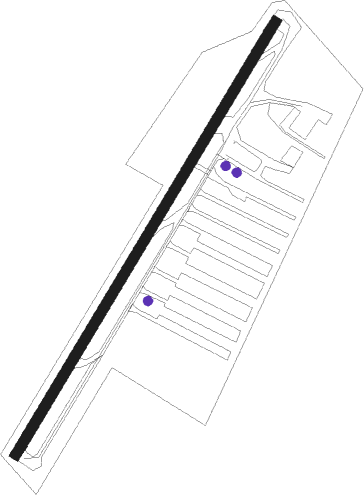
Portland - Starks Twin Oaks Airpark
Airport details
| Country | United States of America |
| State | Oregon |
| Region | |
| Airspace | Seattle Ctr |
| Municipality | Washington County |
| Elevation | 166ft (51m) |
| Timezone | GMT -8 |
| Coordinates | 45.42559, -122.94515 |
| Magnetic var | |
| Type | land |
| Available since | X-Plane v10.40 |
| ICAO code | 7S3 |
| IATA code | n/a |
| FAA code | 7S3 |
Communication
| Starks Twin Oaks Airpark CTAF | 123.050 |
Nearby Points of Interest:
J. S. and Melinda Waggener Farmstead
-Malcolm McDonald House
-John Tigard House
-Beaverton Downtown Historic District
-Minthorn Hall
-Shaver–Bilyeu House
-J. C. Penney Building (Newberg, Oregon)
-Jesse Edwards House
-Fogelbo House
-Shute–Meierjurgen Farmstead
-John and Elsie Parsons House
-John Sweek House
-Alvin T. Smith House
-J. F. Watkins House
-Painter's Woods Historic District
-Schanen–Zolling House
-Clark Historic District
-Ole and Polly Oleson Farmhouse
-Woods and Caples General Store
-Dr. W. R. and Eunice Taylor House
-Walker Naylor Historic District
-John M. and Elizabeth Bates House No. 4
-Joseph Jacobberger Country House
-E. J. O'Donnell House
-Dr. Frank B. Kistner House
Nearby beacons
| code | identifier | dist | bearing | frequency |
|---|---|---|---|---|
| UBG | NEWBERG VOR/DME | 4.5 | 205° | 117.40 |
| PND | BANKS (PORTLAND) NDB | 13 | 334° | 356 |
| CBU | COLUMBIA (PORTLAND) TACAN | 17.1 | 64° | 109.20 |
| BTG | BATTLE GROUND VORTAC | 24.4 | 48° | 116.60 |
| SL | TURNO (SALEM) NDB | 34.7 | 181° | 266 |
| LWG | LEWISBURG (CORVALLIS) NDB | 50.6 | 202° | 225 |
| CVO | CORVALLIS VOR/DME | 57.5 | 201° | 115.40 |
| AST | ASTORIA VOR/DME | 59 | 308° | 114 |
Disclaimer
The information on this website is not for real aviation. Use this data with the X-Plane flight simulator only! Data taken with kind consent from X-Plane 12 source code and data files. Content is subject to change without notice.