Mission - Moore Field
Airport details
| Country | United States of America |
| State | Texas |
| Region | |
| Airspace | Houston Oceanic Ctr |
| Municipality | Hidalgo County |
| Elevation | 219ft (67m) |
| Timezone | GMT -6 |
| Coordinates | 26.39754, -98.33926 |
| Magnetic var | |
| Type | land |
| Available since | X-Plane v10.40 |
| ICAO code | 7TE7 |
| IATA code | n/a |
| FAA code | 7TE7 |
Communication
| Moore Field UNICOM | 122.800 |
Nearby Points of Interest:
Mission Citrus Growers Union Packing Shed
-First Lift Station
-M and J Nelson Building
-La Lomita Chapel
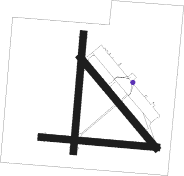
Runway info
Runway 18 / 36  | ||
| length | 1489m (4885ft) | |
| bearing | 190° / 10° | |
| width | 91m (300ft) | |
| surface | concrete | |
| Runway 13 / 31 | ||
| length | 1491m (4892ft) | |
| bearing | 141° / 321° | |
| width | 91m (300ft) | |
| surface | concrete | |
| Runway 9 / 27 | ||
| length | 1469m (4820ft) | |
| bearing | 98° / 278° | |
| width | 91m (300ft) | |
| surface | concrete | |
Nearby beacons
| code | identifier | dist | bearing | frequency |
|---|---|---|---|---|
| MF | MISSI (MC ALLEN) NDB | 8.7 | 169° | 330 |
| MFE | MC ALLEN VOR/DME | 14.4 | 156° | 117.20 |
| REX | REYNOSA VOR/DME | 23.9 | 164° | 112.40 |
| EOC | COYOTE (ENCINO) NDB | 28.1 | 15° | 232 |
| HR | SEBAS (HARLINGEN) NDB | 37.1 | 98° | 338 |
| HRL | HARLINGEN VOR/DME | 38.3 | 104° | 113.65 |
| BR | DEPOO (BROWNSVILLE) NDB | 51.1 | 117° | 393 |
| MAM | MATAMOROS VOR/DME | 57.8 | 128° | 114.30 |
| BRO | BROWNSVILLE VORTAC | 59.2 | 116° | 116.30 |
Disclaimer
The information on this website is not for real aviation. Use this data with the X-Plane flight simulator only! Data taken with kind consent from X-Plane 12 source code and data files. Content is subject to change without notice.