Eagle Butte - Cheyenne Eagle Butte
Airport details
| Country | United States of America |
| State | South Dakota |
| Region | K3 |
| Airspace | Minneapolis Ctr |
| Municipality | District 4 |
| Elevation | 2444ft (745m) |
| Timezone | GMT -7 |
| Coordinates | 44.98439, -101.25105 |
| Magnetic var | |
| Type | land |
| Available since | X-Plane v10.40 |
| ICAO code | 84D |
| IATA code | n/a |
| FAA code | n/a |
Communication
| Cheyenne Eagle Butte CTAF | 122.900 |
Nearby Points of Interest:
Dakota Club Library
-Ziebach County Courthouse
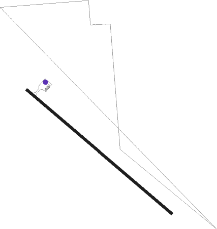
Runway info
| Runway 13 / 31 | ||
| length | 1281m (4203ft) | |
| bearing | 125° / 305° | |
| width | 18m (60ft) | |
| surface | asphalt | |
Nearby beacons
| code | identifier | dist | bearing | frequency |
|---|---|---|---|---|
| DPR | DUPREE VOR/DME | 20.4 | 281° | 116.80 |
| PHP | PHILIP VOR/DME | 58.3 | 204° | 108.40 |
| LEM | LEMMON VOR | 66.6 | 318° | 111.40 |
Instrument approach procedures
| runway | airway (heading) | route (dist, bearing) |
|---|---|---|
| RW31 | JOBOD (240°) | JOBOD ERENE (16mi, 194°) 4500ft OJPOT (5mi, 244°) 4100ft |
| RW31 | OJPOT (310°) | OJPOT 4100ft |
| RW31 | TUZCO (308°) | TUZCO OJPOT (10mi, 305°) 4100ft |
| RNAV | OJPOT 4100ft CEYMU (5mi, 316°) 4100ft 84D (5mi, 305°) 2493ft (5882mi, 114°) 4100ft OJPOT (5876mi, 294°) OJPOT (turn) |
Disclaimer
The information on this website is not for real aviation. Use this data with the X-Plane flight simulator only! Data taken with kind consent from X-Plane 12 source code and data files. Content is subject to change without notice.