Utopia - Thunder Creek
Airport details
| Country | United States of America |
| State | Texas |
| Region | |
| Airspace | Houston Oceanic Ctr |
| Municipality | Bandera County |
| Elevation | 1500ft (457m) |
| Timezone | GMT -6 |
| Coordinates | 29.63411, -99.48155 |
| Magnetic var | |
| Type | land |
| Available since | X-Plane v10.40 |
| ICAO code | 95TA |
| IATA code | n/a |
| FAA code | 95TA |
Communication
Nearby Points of Interest:
Old Camp Verde
-Uvalde Downtown Historic District
-Masonic Building
-Capt. Charles Schreiner Mansion
-State Highway 3 Bridge at the Nueces River
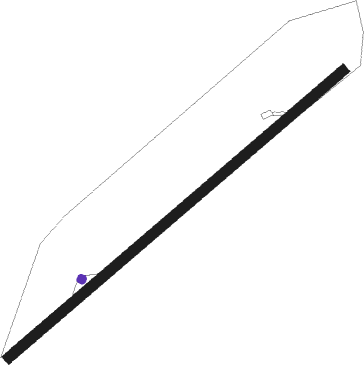
Runway info
| Runway 04 / 22 | ||
| length | 778m (2552ft) | |
| bearing | 58° / 238° | |
| width | 18m (60ft) | |
| surface | grass | |
Nearby beacons
| code | identifier | dist | bearing | frequency |
|---|---|---|---|---|
| CSI | CENTER POINT (KERRVILLE) VORTAC | 22.2 | 43° | 117.50 |
| HHH | DEVINE NDB | 41.1 | 132° | 359 |
| AN | ALAMO (SAN ANTONIO) NDB | 47.6 | 92° | 368 |
| RSG | ROCKSPRINGS VORTAC | 48.3 | 295° | 114.55 |
| KSY | KELLY (SAN ANTONIO) TACAN | 49.2 | 105° | 112 |
| CPZ | CHAPARROSA RANCH NDB | 52.7 | 214° | 385 |
| STV | STONEWALL VORTAC | 53 | 54° | 113.80 |
| PFO | SPOFFORD NDB | 57.5 | 243° | 356 |
| JCT | JUNCTION VORTAC | 60.4 | 341° | 116 |
Disclaimer
The information on this website is not for real aviation. Use this data with the X-Plane flight simulator only! Data taken with kind consent from X-Plane 12 source code and data files. Content is subject to change without notice.