Ekalaka
Airport details
| Country | United States of America |
| State | Montana |
| Region | K1 |
| Airspace | Salt Lake City Ctr |
| Municipality | Carter County |
| Elevation | 3501ft (1067m) |
| Timezone | GMT -7 |
| Coordinates | 45.87651, -104.53763 |
| Magnetic var | |
| Type | land |
| Available since | X-Plane v10.40 |
| ICAO code | 97M |
| IATA code | n/a |
| FAA code | n/a |
Communication
| EKALAKA CTAF | 122.900 |
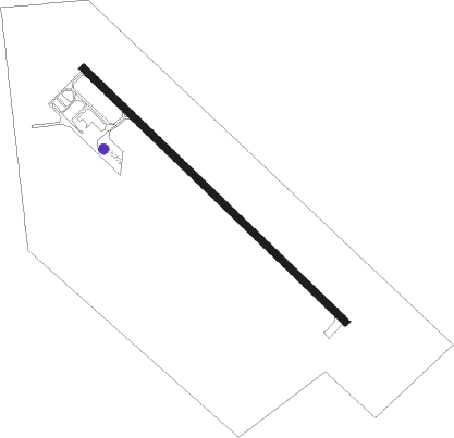
Runway info
| Runway 13 / 31 | ||
| length | 1157m (3796ft) | |
| bearing | 128° / 308° | |
| width | 23m (75ft) | |
| surface | asphalt | |
Disclaimer
The information on this website is not for real aviation. Use this data with the X-Plane flight simulator only! Data taken with kind consent from X-Plane 12 source code and data files. Content is subject to change without notice.