Evart - Evart Muni
Airport details
| Country | United States of America |
| State | Michigan |
| Region | K5 |
| Airspace | Minneapolis Ctr |
| Municipality | Evart |
| Elevation | 1018ft (310m) |
| Timezone | GMT -5 |
| Coordinates | 43.89486, -85.28475 |
| Magnetic var | |
| Type | land |
| Available since | X-Plane v10.40 |
| ICAO code | 9C8 |
| IATA code | n/a |
| FAA code | 9C8 |
Communication
| EVART MUNI CTAF | 122.900 |
Nearby Points of Interest:
Sherman City Union Church
-Nisbett Building
-Fairman Building
-George and Martha Hitchcock House
-Cadillac-Soo Lumber Company 3
-Idlewild
-Cobbs and Mitchell Building
-Frank J. Cobbs House
-Elks Temple Building
-Charles T. Mitchell House
-Masonic Temple Building
-Cadillac Public Library
-Marlborough Historic District
-Mount Pleasant Indian Industrial Boarding School
-Michigan Condensed Milk Factory
-Mount Pleasant Downtown Historic District
-Doughty House (Mount Pleasant, Michigan)
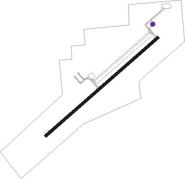
Runway info
| Runway 6 / 24 | ||
| length | 1158m (3799ft) | |
| bearing | 62° / 242° | |
| width | 23m (75ft) | |
| surface | asphalt | |
| blast zone | 0m (0ft) / 116m (381ft) | |
Nearby beacons
| code | identifier | dist | bearing | frequency |
|---|---|---|---|---|
| MA | WEXOR (CADILLAC) NDB | 23.4 | 322° | 336 |
| HIC | WHITE CLOUD VOR/DME | 26.8 | 233° | 117.60 |
| MOP | MOUNT PLEASANT VOR/DME | 28.8 | 116° | 110.60 |
| MB | JEPOT (MANISTEE) NDB | 43.3 | 294° | 254 |
| MBL | DME | 47.5 | 291° | 111.40 |
| TVC | TRAVERSE CITY VOR/DME | 47.8 | 341° | 114.60 |
| TV | GWENN (TRAVERSE CITY) NDB | 50.8 | 350° | 365 |
| CGG | GRAYLING VOR | 52.9 | 35° | 109.80 |
| MKG | MUSKEGON TACAN | 54.5 | 226° | 115.20 |
| GYG | GRAYLING NDB | 54.9 | 28° | 359 |
| GR | KNOBS (GRAND RAPIDS) NDB | 60.1 | 185° | 263 |
Disclaimer
The information on this website is not for real aviation. Use this data with the X-Plane flight simulator only! Data taken with kind consent from X-Plane 12 source code and data files. Content is subject to change without notice.