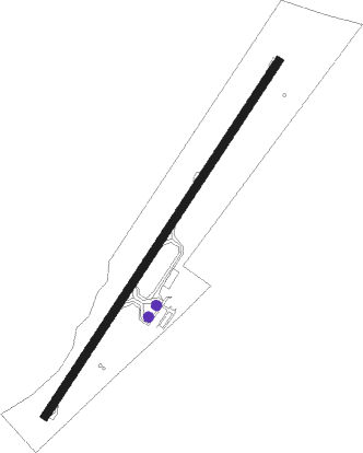
Popondetta - Girua
Airport details
| Country | Papua New Guinea |
| State | Oro |
| Region | AY |
| Airspace | Port Moresby Ctr |
| Municipality | Popondetta District |
| Elevation | 311ft (95m) |
| Timezone | GMT +10 |
| Coordinates | -8.80450, 148.30896 |
| Magnetic var | |
| Type | land |
| Available since | X-Plane v10.40 |
| ICAO code | AYGR |
| IATA code | PNP |
| FAA code | n/a |
Communication
Instrument approach procedures
| runway | airway (heading) | route (dist, bearing) |
|---|---|---|
| RW21 | YGRNA (192°) | YGRNA 3100ft YGRNI (5mi, 128°) 3100ft |
| RW21 | YGRNC (244°) | YGRNC 3100ft YGRNI (5mi, 308°) 3100ft |
| RW21 | YGRNE (218°) | YGRNE 3100ft YGRNI (5mi, 218°) 3100ft |
| RNAV | YGRNI 3100ft YGRNF (5mi, 218°) 1900ft YGRNM (3mi, 218°) 822ft YGRNA (10mi, 7°) 3100ft | |
| RWNVA | OMKAP (65°) | OMKAP BOKEB (5mi, 56°) 11500ft EMVIN (3mi, 56°) 10200ft YGRSD (9mi, 48°) 6000ft YGRSI (7mi, 48°) 3400ft |
| RWNVA | YGRSI (111°) | YGRSI 3400ft |
| RNAV | YGRSI 3400ft YGRSF (5mi, 114°) 2100ft YGRSM (3mi, 114°) 1870ft (8841mi, 273°) 3100ft |
Disclaimer
The information on this website is not for real aviation. Use this data with the X-Plane flight simulator only! Data taken with kind consent from X-Plane 12 source code and data files. Content is subject to change without notice.