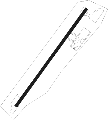
Narsarsuaq
Airport details
| Country | Greenland |
| State | [Other] |
| Region | BG |
| Airspace | Nuuk Ctr |
| Municipality | Kujalleq |
| Elevation | 107ft (33m) |
| Timezone | GMT -3 |
| Coordinates | 61.16072, -45.42567 |
| Magnetic var | |
| Type | land |
| Available since | X-Plane v10.40 |
| ICAO code | BGBW |
| IATA code | UAK |
| FAA code | n/a |
Communication
| Narsarsuaq AFIS | 119.100 |
| Narsarsuaq AFIS Dep | 119.100 |
Nearby beacons
| code | identifier | dist | bearing | frequency |
|---|---|---|---|---|
| NQ | DME | 0.5 | 91° | 111.85 |
| NA | NARSARSUAQ NDB | 0.7 | 52° | 359 |
| NS | NARSAQ NDB | 23.2 | 246° | 404 |
| JH | JULIANEHAB NDB | 31.6 | 234° | 265 |
Instrument approach procedures
| runway | airway (heading) | route (dist, bearing) |
|---|---|---|
| RW06-Y | ADMIX (75°) | ADMIX 6500ft 3NMY (3mi, 112°) 5900ft BWI06 (3mi, 112°) 4800ft |
| RW06-Y | RINUM (60°) | RINUM 6400ft BWI06 (6mi, 60°) 4800ft |
| RW06-Y | TESGI (28°) | TESGI 7500ft BWI06 (7mi, 292°) 4800ft |
| RNAV | BWI06 4800ft BWF06 (6mi, 60°) 3300ft BWM06 (6mi, 60°) 1109ft BW004 (7mi, 269°) BW005 (11mi, 255°) BW006 (7mi, 183°) RINUM (6mi, 100°) 6400ft RINUM (turn) 6400ft | |
| RW06-Z | ELGAG (87°) | ELGAG 5500ft 4NMZ (3mi, 102°) 4500ft BWI47 (4mi, 102°) 3500ft BWF47 (4mi, 88°) 3000ft |
| RNAV | BWF47 3000ft BWM47 (4mi, 71°) 1181ft BWT47 (7mi, 266°) (4222mi, 143°) 4900ft ELGAG (4228mi, 323°) ELGAG (turn) 5500ft | |
| RWNVA | GOLUG (241°) | GOLUG 9600ft 064A1 (6mi, 241°) 7300ft BW022 (5mi, 241°) 5600ft |
| RWNVA | OSMAD (216°) | OSMAD 7500ft 334AT (3mi, 112°) 6200ft BW022 (3mi, 112°) 5600ft |
| RWNVA | UMSUK (259°) | UMSUK 8000ft 154AT (4mi, 293°) 6700ft BW022 (4mi, 292°) 5600ft |
| RNAV | BW022 5600ft BW021 (6mi, 241°) 4300ft BW020 (7mi, 241°) 2250ft BW004 (12mi, 259°) (4222mi, 143°) 4900ft ELGAG (4228mi, 323°) ELGAG (turn) 5500ft | |
| RWNVB | GOLUG (241°) | GOLUG 9600ft 064A1 (6mi, 241°) 7300ft BW022 (5mi, 241°) 5600ft |
| RWNVB | OSMAD (216°) | OSMAD 7500ft 334AT (3mi, 112°) 6200ft BW022 (3mi, 112°) 5600ft |
| RWNVB | UMSUK (259°) | UMSUK 8000ft 154AT (4mi, 293°) 6700ft BW022 (4mi, 292°) 5600ft |
| RNAV | BW022 5600ft BW021 (6mi, 241°) 4300ft BW020 (7mi, 241°) 3500ft BW004 (12mi, 259°) (4222mi, 143°) 5900ft ELGAG (4228mi, 323°) ELGAG (turn) 6500ft |
Disclaimer
The information on this website is not for real aviation. Use this data with the X-Plane flight simulator only! Data taken with kind consent from X-Plane 12 source code and data files. Content is subject to change without notice.
