Hinton - Jasper-hinton
Airport details
| Country | Canada |
| State | Alberta |
| Region | CY |
| Airspace | Edmonton Ctr |
| Municipality | Yellowhead County |
| Elevation | 4004ft (1220m) |
| Timezone | GMT -7 |
| Coordinates | 53.31917, -117.75324 |
| Magnetic var | |
| Type | land |
| Available since | X-Plane v10.40 |
| ICAO code | CEC4 |
| IATA code | YJP |
| FAA code | n/a |
Communication
| Jasper-Hinton Unicom | 123.350 |
Nearby Points of Interest:
Jasper House
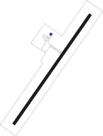
Runway info
| Runway 02 / 20 | ||
| length | 1376m (4514ft) | |
| bearing | 54° / 234° | |
| width | 30m (100ft) | |
| surface | asphalt | |
| displ threshold | 63m (207ft) / 94m (308ft) | |
Departure and arrival routes
| Transition altitude | 18000ft |
| Transition level | 18000ft |
| SID end points | distance | outbound heading | |
|---|---|---|---|
| RW02 | |||
| PEMKA4 | 104mi | 84° | |
Instrument approach procedures
| runway | airway (heading) | route (dist, bearing) |
|---|---|---|
| RW20-W | IKNIS (254°) | IKNIS PEMKA (6mi, 296°) 7400ft |
| RW20-W | LODGO (205°) | LODGO PEMKA (6mi, 116°) 7400ft |
| RW20-W | PEMKA (234°) | PEMKA 7100ft |
| RW20-W | WYLDE (264°) | WYLDE PEMKA (93mi, 267°) 7100ft |
| RNAV | PEMKA 7100ft AVSUP (6mi, 234°) 6500ft UKSAM (2mi, 234°) 5700ft GOSAS (3mi, 234°) 4880ft (6373mi, 114°) 4880ft PEMKA (6363mi, 294°) 6800ft PEMKA (turn) 6800ft | |
| RW20-X | IKNIS (254°) | IKNIS PEMKA (6mi, 296°) 7400ft |
| RW20-X | LODGO (205°) | LODGO PEMKA (6mi, 116°) 7400ft |
| RW20-X | PEMKA (234°) | PEMKA 7100ft |
| RW20-X | WYLDE (264°) | WYLDE PEMKA (93mi, 267°) 7100ft |
| RNAV | PEMKA 7100ft AVSUP (6mi, 234°) 6500ft UKSAM (2mi, 234°) 5700ft GOSAS (3mi, 234°) 4880ft (6373mi, 114°) 5100ft PEMKA (6363mi, 294°) 6800ft PEMKA (turn) 6800ft | |
| RW20-Y | IKNIS (254°) | IKNIS PEMKA (6mi, 296°) 7400ft |
| RW20-Y | LODGO (205°) | LODGO PEMKA (6mi, 116°) 7400ft |
| RW20-Y | PEMKA (234°) | PEMKA 7100ft |
| RW20-Y | WYLDE (264°) | WYLDE PEMKA (93mi, 267°) 7100ft |
| RNAV | PEMKA 7100ft AVSUP (6mi, 234°) 6500ft UKSAM (2mi, 234°) 5700ft GOSAS (3mi, 234°) 4880ft (6373mi, 114°) 4880ft PEMKA (6363mi, 294°) 6800ft PEMKA (turn) 6800ft | |
| RW20-Z | IKNIS (254°) | IKNIS PEMKA (6mi, 296°) 7400ft |
| RW20-Z | LODGO (205°) | LODGO PEMKA (6mi, 116°) 7400ft |
| RW20-Z | PEMKA (234°) | PEMKA 7100ft |
| RW20-Z | WYLDE (264°) | WYLDE PEMKA (93mi, 267°) 7100ft |
| RNAV | PEMKA 7100ft AVSUP (6mi, 234°) 6500ft UKSAM (2mi, 234°) 5700ft GOSAS (3mi, 234°) 4880ft (6373mi, 114°) 5100ft PEMKA (6363mi, 294°) 6800ft PEMKA (turn) 6800ft |
Disclaimer
The information on this website is not for real aviation. Use this data with the X-Plane flight simulator only! Data taken with kind consent from X-Plane 12 source code and data files. Content is subject to change without notice.