Shoal Lake
Airport details
| Country | Canada |
| State | Manitoba |
| Region | CY |
| Airspace | Winnipeg Ctr |
| Municipality | Rural Municipality of Yellowhead |
| Elevation | 1834ft (559m) |
| Timezone | GMT -6 |
| Coordinates | 50.45750, -100.60861 |
| Magnetic var | |
| Type | land |
| Available since | X-Plane v10.40 |
| ICAO code | CKL5 |
| IATA code | n/a |
| FAA code | n/a |
Communication
| SHOAL LAKE CTAF/UNICOM | 122.800 |
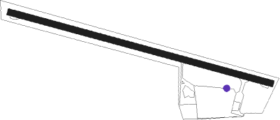
Runway info
| Runway 10 / 28 | ||
| length | 1005m (3297ft) | |
| bearing | 103° / 283° | |
| width | 23m (75ft) | |
| surface | asphalt | |
Nearby beacons
| code | identifier | dist | bearing | frequency |
|---|---|---|---|---|
| 3Z | RUSSELL NDB | 32 | 294° | 263 |
| BR | BRANDON NDB | 38.8 | 136° | 233 |
| YBR | BRANDON VOR/DME | 41.6 | 130° | 113.80 |
| DN | DAUPHIN NDB | 43.7 | 41° | 224 |
| YDN | DAUPHIN VOR/DME | 44.2 | 41° | 116.10 |
Disclaimer
The information on this website is not for real aviation. Use this data with the X-Plane flight simulator only! Data taken with kind consent from X-Plane 12 source code and data files. Content is subject to change without notice.