Mattawa - Mattawa (earl's Lake)
Airport details
| Country | Canada |
| State | Ontario |
| Region | CY |
| Airspace | Toronto Ctr |
| Municipality | Papineau-Cameron Township |
| Elevation | 600ft (183m) |
| Timezone | GMT -5 |
| Coordinates | 46.29972, -78.74778 |
| Magnetic var | |
| Type | land |
| Available since | X-Plane v10.40 |
| ICAO code | CMA2 |
| IATA code | n/a |
| FAA code | n/a |
Communication
| Mattawa (Earl's Lake) AWOS | 123.200 |
| Mattawa (Earl's Lake) Unicom | 122.800 |
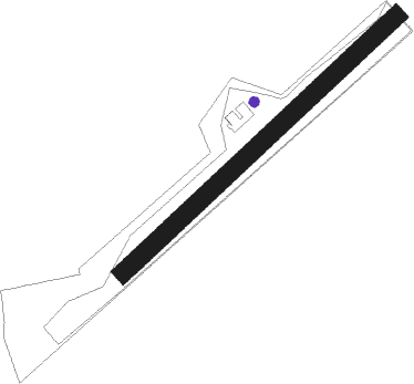
Runway info
| Runway 06 / 24 | ||
| length | 615m (2018ft) | |
| bearing | 61° / 241° | |
| width | 30m (98ft) | |
| surface | grass | |
| displ threshold | 122m (400ft) / 0m (0ft) | |
Nearby beacons
| code | identifier | dist | bearing | frequency |
|---|---|---|---|---|
| YYB | NORTH BAY VOR/DME | 28.8 | 275° | 115.40 |
Disclaimer
The information on this website is not for real aviation. Use this data with the X-Plane flight simulator only! Data taken with kind consent from X-Plane 12 source code and data files. Content is subject to change without notice.