Haliburton - Haliburton/stanhope Municipal Airport
Airport details
| Country | Canada |
| State | Ontario |
| Region | CY |
| Airspace | Toronto Ctr |
| Municipality | Algonquin Highlands |
| Elevation | 1064ft (324m) |
| Timezone | GMT -5 |
| Coordinates | 45.11083, -78.64000 |
| Magnetic var | |
| Type | land |
| Available since | X-Plane v10.40 |
| ICAO code | CND4 |
| IATA code | n/a |
| FAA code | n/a |
Communication
| Haliburton/Stanhope Municipal Airport CTAF | 123.200 |
Nearby Points of Interest:
Huntsville station
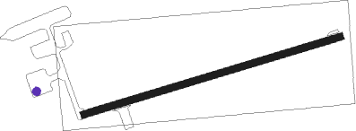
Runway info
| Runway 08 / 26 | ||
| length | 749m (2457ft) | |
| bearing | 81° / 261° | |
| width | 18m (60ft) | |
| surface | asphalt | |
Nearby beacons
| code | identifier | dist | bearing | frequency |
|---|---|---|---|---|
| VIE | COEHILL VOR/DME | 41.8 | 121° | 115.10 |
| YPQ | PETERBOROUGH NDB | 54.4 | 169° | 379 |
| YSO | DME | 57.1 | 211° | 117.35 |
| YCF | DME | 61.4 | 130° | 113.50 |
Disclaimer
The information on this website is not for real aviation. Use this data with the X-Plane flight simulator only! Data taken with kind consent from X-Plane 12 source code and data files. Content is subject to change without notice.