Baker Lake
Airport details
| Country | Canada |
| State | Nunavut |
| Region | CY |
| Airspace | Edmonton Ctr |
| Municipality | Baker Lake |
| Elevation | 59ft (18m) |
| Timezone | GMT -6 |
| Coordinates | 64.29881, -96.07765 |
| Magnetic var | |
| Type | land |
| Available since | X-Plane v10.32 |
| ICAO code | CYBK |
| IATA code | YBK |
| FAA code | n/a |
Communication
| BAKER LAKE ARPT RDO | 122.100 |
| BAKER LAKE Simulation Tower | 128.800 |
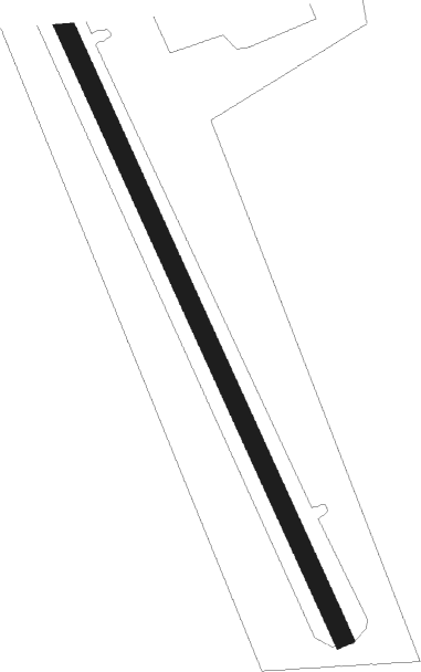
Runway info
| Runway 16 / 34 | ||
| length | 1280m (4199ft) | |
| bearing | 140° / 320° | |
| width | 30m (100ft) | |
| surface | gravel | |
Nearby beacons
| code | identifier | dist | bearing | frequency |
|---|---|---|---|---|
| BK | BAKER LAKE NDB | 1 | 39° | 224 |
| YBK | BAKER LAKE VOR/DME | 1.5 | 310° | 114.50 |
Instrument approach procedures
| runway | airway (heading) | route (dist, bearing) |
|---|---|---|
| RW16 | EPSIP (114°) | EPSIP LOPRU (5mi, 82°) 1500ft |
| RW16 | ILIVA (197°) | ILIVA LOPRU (5mi, 262°) 1500ft |
| RNAV | LOPRU 1500ft NOVOL (6mi, 142°) 1400ft CYBK (4mi, 142°) 111ft EBKOD (2mi, 143°) DURIR (3mi, 143°) 1900ft DURIR (turn) | |
| RW34 | DENPO (16°) | DENPO IRGUX (5mi, 82°) 1500ft |
| RW34 | ETKUT (294°) | ETKUT IRGUX (5mi, 262°) 1500ft |
| RNAV | IRGUX 1500ft NABUV (6mi, 323°) 1400ft CYBK (4mi, 323°) 62ft OTESI (2mi, 322°) OVBAB (3mi, 322°) 1900ft OVBAB (turn) |
Disclaimer
The information on this website is not for real aviation. Use this data with the X-Plane flight simulator only! Data taken with kind consent from X-Plane 12 source code and data files. Content is subject to change without notice.